Baja Verapaz Department, Administrative department of western Guatemala
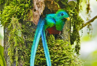
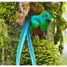
Baja Verapaz is an administrative division in Guatemala that covers multiple municipalities and includes protected natural areas. The region features mountainous terrain at varying elevations and supports diverse ecosystems shaped by its varied geography.
The department was established in 1877 when the broader Verapaces region was divided into separate areas. Its earlier name reflected the challenging terrain and the region's past as a frontier zone.
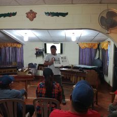
The area is home to various Maya communities, including Achi, Pocomchi, Quiche, and Cackchiquel groups who speak their own languages and maintain distinct traditions. These communities shape daily life in the villages and markets, where you can experience their craftsmanship and local customs.
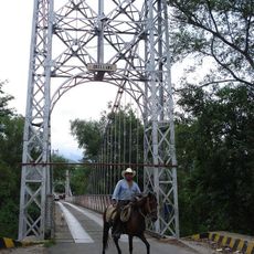
The region spans varying elevations that affect climate and weather, so dressing in layers works well depending on where you travel. When exploring different municipalities, it helps to check local road conditions since the mountainous landscape determines how areas are accessed.
A mountain range runs through the region and creates natural boundaries between municipalities, each with its own microclimate. This geographic separation results in different weather patterns and plant life within short distances of each other.
The community of curious travelers
AroundUs brings together thousands of curated places, local tips, and hidden gems, enriched daily by 60,000 contributors worldwide.