La Paz Department, Administrative department in central El Salvador
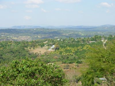
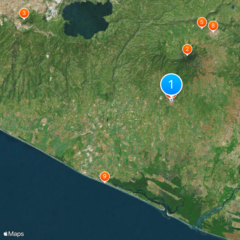
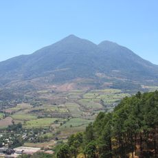
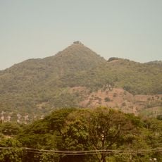
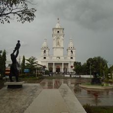
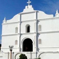
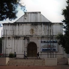
La Paz Department is an administrative region in central El Salvador with diverse landscapes including agricultural lands, mountains, and coastal areas. The territory is divided into three municipalities, with Zacatecoluca serving as the main administrative center.
The region was established in 1852 by combining districts from neighboring areas into a single administrative unit. This creation shaped the political structure that exists today.
The region is known for traditional dances like "Tiger and the Deer" still performed at local festivals today. This dance form tells stories of hunters, animals, and community life, remaining an important part of how people celebrate together.
The region consists of three main administrative areas, each covering different landscape types. Visitors should note that conditions vary significantly between coastal and mountain zones.
Ancient caves throughout the area contain rock inscriptions documenting the presence of Maya-Quiché peoples before the 11th century. These discoveries reveal the deep historical connection this place has to pre-Columbian cultures.
Location: El Salvador
Inception: February 21, 1852
Capital city: Zacatecoluca
Shares border with: La Libertad Department, San Salvador Department, Cuscatlán Department, San Vicente Department
GPS coordinates: 13.50729,-88.87021
Latest update: December 13, 2025 23:14
San Vicente
10.5 km
Cerro San Jacinto
37.1 km
Catedral de Zacatecoluca
197 m
Tehuacán
17.2 km
Estadio Antonio Toledo Valle
1.4 km
Saint Sebastian Analco Church
371 m
Iglesia de Nuestra Señora del Pilar
17.7 km
Playa Costa del Sol
23.4 km
Puente del Progreso
18.3 km
Playa La Zunganera
30.3 km
Playa San Marcelino
24.1 km
Playa Las Bocanitas
33 km
Playa Los Blancos
22.9 km
Playa El Pimiental
26 km
Playa Amatecampo
31.6 km
Playa Las Hojas
25.1 km
Las Bocanitas
32.4 km
Beach
26.4 km
Kiosko La Alameda
357 m
Fuente - San Sebastian
345 m
La Piedra Trabada
21.6 km
Torre
18 km
Parque La Alameda
361 m
Plaza El Santuario
18 km
El Triangulo
17.6 km
Cancha Tacón
17.5 km
El Tempisque
18.1 km
Acahuapa
18.3 kmVisited this place? Tap the stars to rate it and share your experience / photos with the community! Try now! You can cancel it anytime.
Discover hidden gems everywhere you go!
From secret cafés to breathtaking viewpoints, skip the crowded tourist spots and find places that match your style. Our app makes it easy with voice search, smart filtering, route optimization, and insider tips from travelers worldwide. Download now for the complete mobile experience.
A unique approach to discovering new places❞
— Le Figaro
All the places worth exploring❞
— France Info
A tailor-made excursion in just a few clicks❞
— 20 Minutes