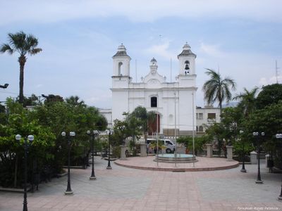
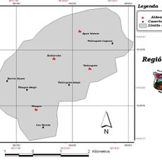
Zacapa Department, Administrative department in eastern Guatemala.
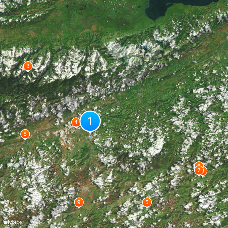
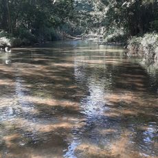
Zacapa is an administrative department in eastern Guatemala, with the Motagua River creating fertile valleys that support agriculture. The Sierra de las Minas mountains rise to the north, framing these productive lands with elevated terrain.
The department was established on November 10, 1871, and took its current form through several territorial changes. In 1908, portions were separated to create the neighboring El Progreso Department.
The name Zacapa comes from Nahuatl words: zacatl meaning grass and apan meaning river, reflecting the waterways and vegetation that define the area. This naming shows how the landscape shaped the region's identity.
The area sits roughly 110 kilometers east of Guatemala City and links to the country's main transportation routes. As a trade and agricultural hub, it is easy to access and serves as a junction for regional pathways.
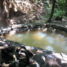
The region holds significant jade and marble deposits within the Sierra de las Minas, supplying Guatemala with valuable mineral resources. These minerals have been extracted for a long time and contribute to the area's economic importance.
Location: Guatemala
Inception: November 10, 1871
Capital city: Zacapa
Elevation above the sea: 220 m
Shares border with: Alta Verapaz Department, Izabal Department, Copán Department, Chiquimula Department, Jalapa Department, El Progreso Department
GPS coordinates: 14.97250,-89.52833
Latest update: December 6, 2025 21:31
Copán
44.1 km
Semuc Champey
77.8 km
Quiriguá
62 km
Cerro El Pital
78.3 km
Castillo de San Felipe de Lara
93.7 km
Montecristo National Park
66.8 km
Biotopo del Quetzal
79.6 km
Reserva de la biosfera Sierra de las Minas
33 km
Suchitan
76.1 km
Culma
84.1 km
St. Rose Cathedral, Santa Rosa de Copán
83.9 km
Estadio Jorge Calero Suárez
71.8 km
Tahual
72.4 km
Iglesia de San Pedro Apóstol
71.8 km
Museo de Paleontologia y Arqueología de Estanzuela
6 km
Estadio La Asunción
73.4 km
Arena y Sol
86 km
Agua Blanca
33.9 km
Macaw mountain bird park
42.3 km
Museo
62.1 km
Catarata de Urlanta
69.3 km
Luna Jaguar Spa Oficina de informacion
42.8 km
Iglesia del Calvario
71.3 km
Casa del Quetzal y la Marimba, Museo
86 km
La Palmilla, Usumatlan
24 km
Cementerio Senahú
58.2 km
Museo Fernando Llort
82.5 km
Finca El Cisne
42.4 kmVisited this place? Tap the stars to rate it and share your experience / photos with the community! Try now! You can cancel it anytime.
Discover hidden gems everywhere you go!
From secret cafés to breathtaking viewpoints, skip the crowded tourist spots and find places that match your style. Our app makes it easy with voice search, smart filtering, route optimization, and insider tips from travelers worldwide. Download now for the complete mobile experience.
A unique approach to discovering new places❞
— Le Figaro
All the places worth exploring❞
— France Info
A tailor-made excursion in just a few clicks❞
— 20 Minutes