El Progreso Department
El Progreso Department, Administrative department in northeastern Guatemala.
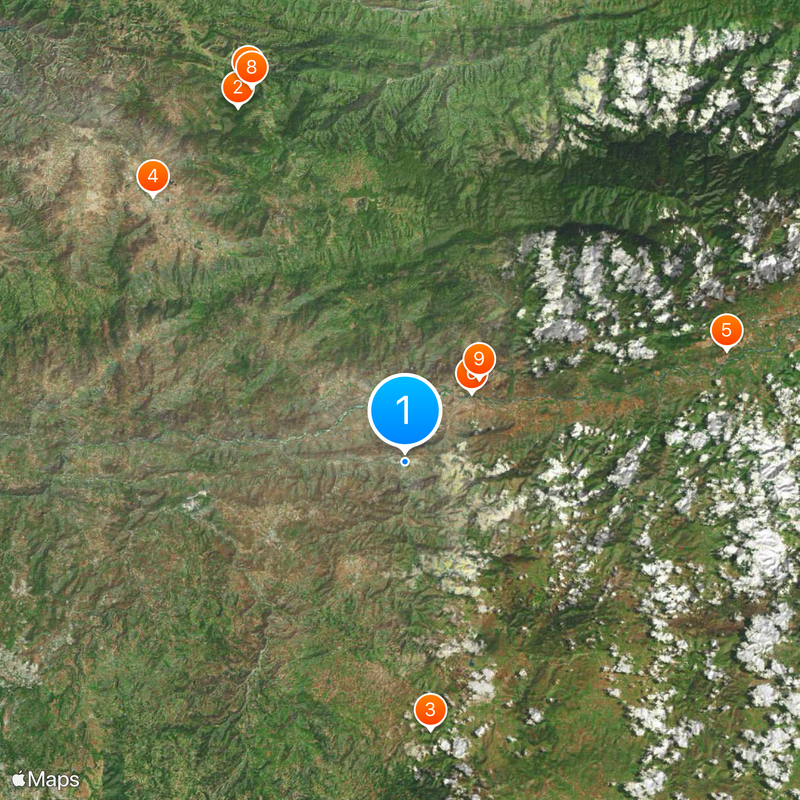
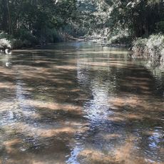
El Progreso is an administrative department in Guatemala covering 1,922 square kilometers between the highlands and lowlands. The Motagua River runs through the region, which has multiple climate zones and eight municipal centers.
The region became a department in 1908 and went through several reorganizations before gaining its current permanent form in 1934. These administrative changes reflected the shifting political landscape in Guatemala during that period.
The population is mainly Spanish-speaking Ladinos, and you can see descendants of Poqomchi Maya and Pipil peoples keeping their traditions alive through local crafts and celebrations.
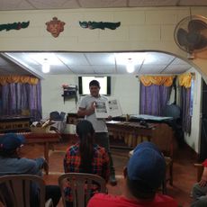
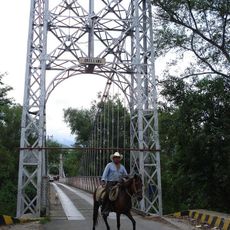
The region connects to Guatemala City through a road network of about 74 kilometers and offers access to agricultural markets. You'll find accommodations and services in the eight municipal centers spread throughout the area.
The Guaytan archaeological site was a major distribution hub for jade during Pre-Classic and Classic Maya times. This trading role made the area a center for moving valuable materials across the ancient Maya world.
Location: Guatemala
Capital city: Guastatoya
Elevation above the sea: 2,962 m
Shares border with: Alta Verapaz Department, Baja Verapaz Department, Guatemala Department, Jalapa Department, Zacapa Department
GPS coordinates: 14.85389,-90.06861
Latest update: December 20, 2025 00:17
Biotopo del Quetzal
41.5 km
Catarata de Urlanta
28.5 km
Casa del Quetzal y la Marimba, Museo
38.8 km
La Palmilla, Usumatlan
36.1 km
Puente Orellana
10.2 kmWork of art
43.5 kmScenic viewpoint
42.8 kmIl Gallo
11.8 kmEstación central ferrocarril El Rancho
9.7 kmTuricentro Agua Santa
37.1 kmBarbacoa y Playa
7.8 kmTobogán Bala
675 mSalama Sign
38.2 kmBust, Work of art
37.9 kmParque Municipal
44.2 kmBust, Work of art
45.7 kmEl Chupadero
28.6 kmScenic viewpoint
42.7 kmScenic viewpoint, public toilet
43.4 kmWaterfall
42.9 kmWaterfall
43.8 kmWaterfall
42.9 kmRubel Po
42.4 kmWaterfall
41.4 kmWaterfall
43.1 kmCatarata Salto de Chilascó
33.3 kmCatarata de Urlanta
28.2 kmWaterfall
43.8 kmVisited this place? Tap the stars to rate it and share your experience / photos with the community! Try now! You can cancel it anytime.
Discover hidden gems everywhere you go!
From secret cafés to breathtaking viewpoints, skip the crowded tourist spots and find places that match your style. Our app makes it easy with voice search, smart filtering, route optimization, and insider tips from travelers worldwide. Download now for the complete mobile experience.
A unique approach to discovering new places❞
— Le Figaro
All the places worth exploring❞
— France Info
A tailor-made excursion in just a few clicks❞
— 20 Minutes