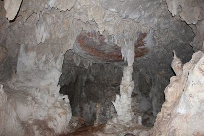
Candelaria Caves, Cave system and national park in Raxruha, Guatemala.
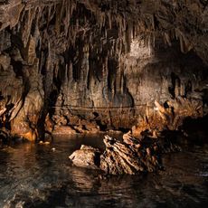
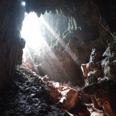
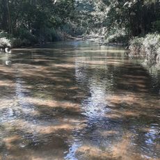
The Candelaria cave network comprises multiple chambers within limestone mountains, with passages that extend considerable distances underground. An underground river flows through sections of the system, connecting separate cave areas.
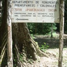
A French explorer discovered the caves in 1974, bringing the site to scientific attention. The Guatemalan government subsequently established the area as a protected national park.
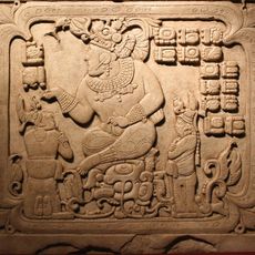
Local Q'eqchi communities view these caves as sacred passages connected to their ancestral spiritual beliefs. This perspective shapes how people interact with and care for the site today.
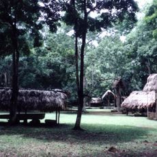
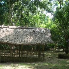
The site has three main entrances, each managed by local Q'eqchi communities who lead guided explorations. Visitors should plan for wet conditions and bring appropriate footwear for walking through underground passages.
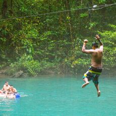
Sections of the cave system can be explored by floating on inner tubes along an underground river. This uncommon way to navigate the passages draws visitors seeking a different kind of adventure.
The community of curious travelers
AroundUs brings together thousands of curated places, local tips, and hidden gems, enriched daily by 60,000 contributors worldwide.