Rio Dulce National Park, Natural reserve in Izabal Department, Guatemala
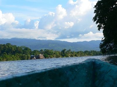
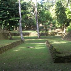
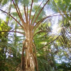
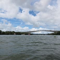
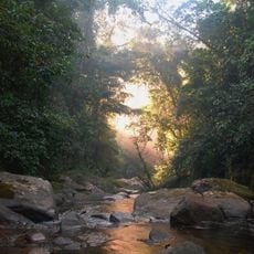
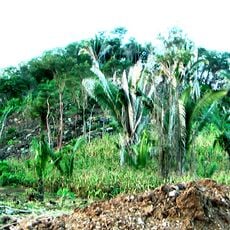
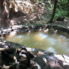
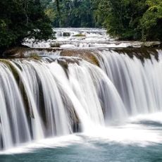
Rio Dulce National Park is a protected nature reserve along the Dulce River in Izabal, featuring thick tropical rainforest, mangrove swamps, and tall limestone rock faces. The park spreads across both river and forest environments, creating varied ecosystems where water and land habitats meet.
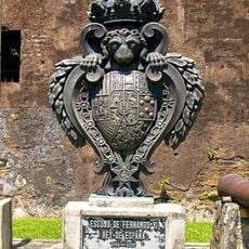
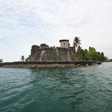
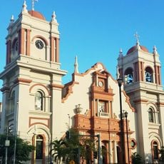
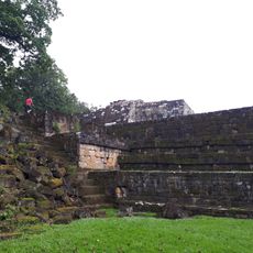
The area served as a colonial defense point where the fortress Castillo de San Felipe de Lara was built to protect shipping lanes from pirate attacks. This fortification played a strategic role in safeguarding trade in the Caribbean during the colonial period.
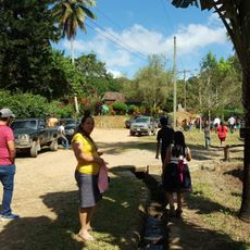
Local Q'eqchi' Maya communities continue to use traditional dugout canoes for daily transportation across the river and lake waters. These wooden boats remain a common sight as fishermen and residents go about their routines on the water.
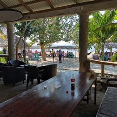
The best way to explore the area is by boat, since the river and water passages form the main routes through the park's different landscapes. The dry season from November to April offers better conditions for outdoor activities and easier navigation.
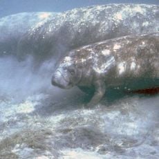
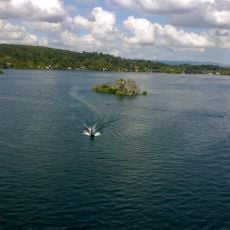
A unique section called El Golfete functions as a natural lake within the park where manatees live in protected waters. This area was set aside specifically to safeguard these rare aquatic mammals and offers one of the few chances to see them in their natural habitat.
Location: Izabal Department
GPS coordinates: 15.63114,-88.94566
Latest update: December 6, 2025 19:06
Guatemala offers photographers a mix of pre-Columbian sites, volcanic landscapes, and colonial buildings. The geography ranges from highland towns to rainforests and coastal areas along the Pacific and Caribbean. Ancient Maya temples stand alongside Spanish-era churches, while indigenous markets and traditional villages show cultural life. The landscape is marked by active and dormant volcanoes, often surrounded by coffee plantations. Places like Antigua Guatemala display colonial architecture with cobblestone streets and courtyards. Lake Atitlán sits between mountains and smaller communities. Tikal and other archaeological sites in the north preserve Maya structures within jungle settings. Chichicastenango Market is known for woven textiles and incense. Pacaya and Acatenango are accessible volcanoes, while Semuc Champey offers natural pools in a limestone forest. The variety of regions makes Guatemala a country with different perspectives in short distances.
Copán
90.8 km
Quiriguá
41.5 km
Fortaleza de San Fernando
98.4 km
Castillo de San Felipe de Lara
5.2 km
Reserva de la biosfera Sierra de las Minas
98.9 km
Nim Li Punit
77.9 km
Cusuco National Park
73.8 km
Estadio General Francisco Morazán
98.8 km
Puente de Río Dulce
6.4 km
San Pedro Sula Cathedral barby
99.8 km
Chocón Machacas
16.5 km
Naj Tunich
80 km
St. Rose Cathedral, Santa Rosa de Copán
97.8 km
Bladen Nature Reserve
95.9 km
Ixtutz
81.3 km
Xnaheb
77.9 km
Maguen David Synagogue
98.6 km
Museo de Paleontologia y Arqueología de Estanzuela
97.7 km
Parque Nacional Río Dulce
15.2 km
The Little Sula Children's Museum
99.1 km
Coto river
95.5 km
Macaw mountain bird park
89.5 km
Museo
41.1 km
Luna Jaguar Spa Oficina de informacion
90.9 km
Las Conchas Natural Park
60.6 km
Calvario Poptun
93 km
Cementerio Senahú
96.8 km
Finca El Cisne
67.8 kmReviews
Visited this place? Tap the stars to rate it and share your experience / photos with the community! Try now! You can cancel it anytime.
Discover hidden gems everywhere you go!
From secret cafés to breathtaking viewpoints, skip the crowded tourist spots and find places that match your style. Our app makes it easy with voice search, smart filtering, route optimization, and insider tips from travelers worldwide. Download now for the complete mobile experience.
A unique approach to discovering new places❞
— Le Figaro
All the places worth exploring❞
— France Info
A tailor-made excursion in just a few clicks❞
— 20 Minutes