Corcovado National Park, National park in Osa Peninsula, Costa Rica
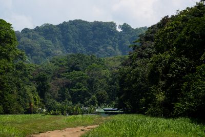
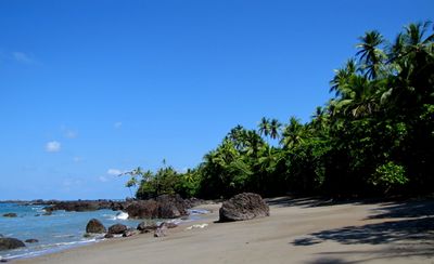
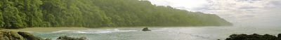
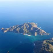
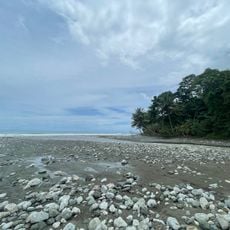
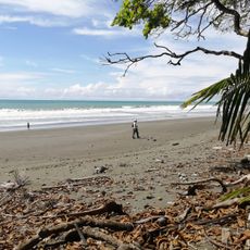
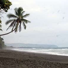
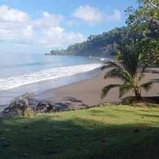
Corcovado is a protected area on the Pacific coast of the Osa Peninsula, covering more than 400 square kilometers of tropical rainforest and coastal zones. Several trails lead through different vegetation zones, from dense forest sections to sandy beaches where river mouths meet the ocean.
The park was founded in the mid-1970s after logging companies began clearing large areas of old forest. The government decided then to place the territory under protection to prevent the disappearance of numerous animal species.
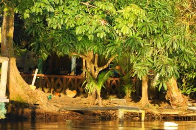
Gold mining once brought workers into these forests, and some families in nearby towns still tell stories about those days while guiding visitors along the trails today. Many residents now run small lodges and restaurants where travelers stop before or after walking through the reserve.
A visit requires booking through a certified guide, as independent hiking is not permitted. The approach is either through Puerto Jiménez or Drake Bay, both requiring several hours of travel or a boat ride.
All four monkey species of the country live together in the same forest sections here, which is rare elsewhere in the nation. Visitors sometimes also see tapirs foraging along riverbanks in the early morning.
The community of curious travelers
AroundUs brings together thousands of curated places, local tips, and hidden gems, enriched daily by 60,000 contributors worldwide.