Enable Location

We need your location to show you interesting places around you

Discover nearby places

Find interesting locations and hidden gems around you

Precise directions

Get accurate directions and distances to places

Your location is never shared with other users. It's only used when you tap the location button.

Herrera Province

Log in to your account

Start exploring — it's free

Trusted by 62,603 travelers worldwide

Continue with Google
Continue with Apple
or

We will send you a code to connect

By continuing, you accept our Terms and Conditions and our Privacy Policy

Check your inbox

We've sent a pincode in your inbox. Please enter the code below.

Herrera Province, Province with tropical climate in Azuero Peninsula, Panama.

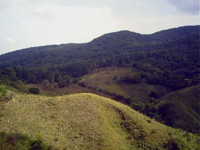
This province occupies the northern portion of the Azuero Peninsula, bordered by Los Santos Province to the south and Veraguas and Coclé provinces to the north. The territory includes coastal lowlands along the Gulf of Parita and inland hills crossed by seasonal rivers that shape the landscape.

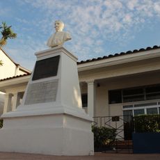
The territory was separated from Los Santos Province in 1915 by President Belisario Porras and named after General Tomás Herrera, a military leader from the 19th century. The new administrative unit emerged during a period of regional reorganization following Panama's independence from Colombia.

The Festival del Manito Ocueño brings together regional craftsmen who showcase traditional pottery, devil masks, and pre-Columbian artifact reproductions.

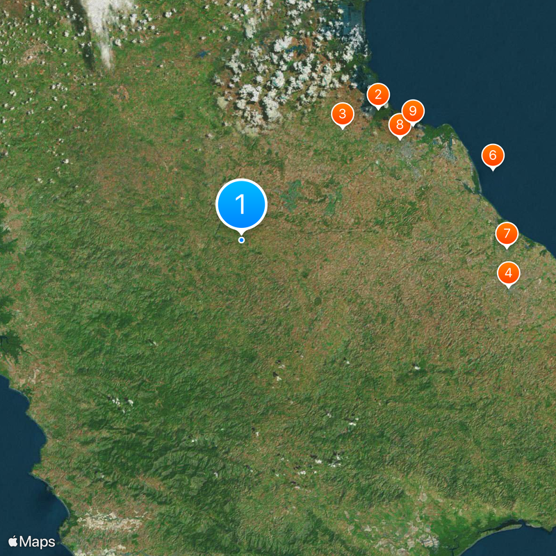
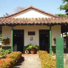
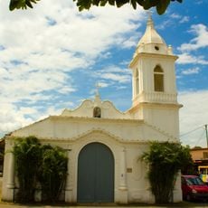
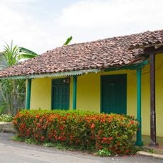
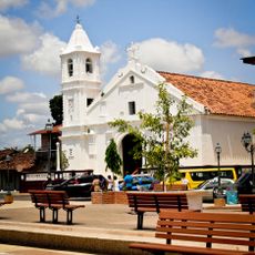
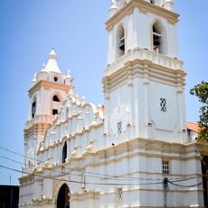
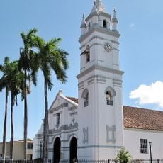
The region divides into seven districts, with Chitré serving as the administrative hub and largest town. Visitors encounter mostly rural communities shaped by farming, along with smaller coastal settlements lining the Pacific shore.

The area is known for sugarcane cultivation and hosts the Varela Hermanos distillery in Pesé, where Seco Herrerano is produced. This clear spirit made from fermented sugarcane juice is considered Panama's national drink and is consumed both neat and in cocktails.

The community of curious travelers

AroundUs brings together thousands of curated places, local tips, and hidden gems, enriched daily by 60,000 contributors worldwide.

Start exploring
Location
Capital city
Chitré
GPS coordinates
7.83333,-80.66667
Latest update
December 13, 2025 17:02
« Herrera Province - Province with tropical climate in Azuero Peninsula, Panama » is provided by Around Us (aroundus.com). Images and texts are derived from Wikimedia project under a Creative Commons license. You are allowed to copy, distribute, and modify copies of this page, under the conditions set by the license, as long as this note is clearly visible.

Discover hidden gems everywhere you go!

From secret cafés to breathtaking viewpoints, skip the crowded tourist spots and find places that match your style. Our app makes it easy with voice search, smart filtering, route optimization, and insider tips from travelers worldwide. Download now for the complete mobile experience.

Around Us App Screenshot

A unique approach to discovering new places

Le Figaro

All the places worth exploring

France Info

A tailor-made excursion in just a few clicks

20 Minutes

Around Us
Travel Guide & Maps
Download

Send to your phone

QR Code
1

Open the camera app on your mobile.

2

Point at the QR code with your camera. A notification will appear.

3

Tap the notification to open the link.