Sarigua National Park, Desert and national park in Herrera Province, Panama
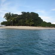
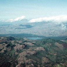
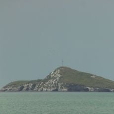
Sarigua National Park is a protected area on the Pacific coast of Herrera Province that combines dry land and marine zones. The terrain includes a wide coastal strip with desert-like ground, tidal flats, and coastal waters forming a complex natural system.
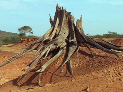
Archaeologists have found traces of a fishing camp in this area that ranks among the earliest known settlements in Panama. The park status was granted after intense deforestation in the late 1900s led to severe soil erosion.
People in nearby villages call this coastal desert albina, a name referring to the whitish color of the salt-crusted ground. Fishers from the surrounding towns still use the park's coastal waters, and their boats often pass by in the early morning.
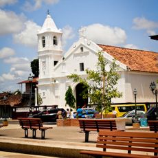
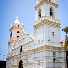
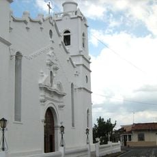
A visitor center at the entrance offers guided tours that help understand the unusual terrain. Access is by road from the towns of Santa María and Parita, and the grounds are open during daylight hours.
Deep furrows cut through the landscape, shaped by decades of erosion and salt deposition in the bare soil. These grooves and gullies provide resting spots for migrating birds that stop here along the Pacific coastal route.
Location: Herrera Province
Inception: 1984
GPS coordinates: 8.02380,-80.46840
Latest update: December 5, 2025 22:31
These locations in Panama display the country's diversity. From Coiba Island with its beaches to the colonial ruins of Portobelo. The selection includes national parks, mountains, beaches and historic sites. Volcan Baru offers views of both oceans. The San Blas Islands feature turquoise waters and coral reefs.
General Division Omar Torrijos Herrera National Park
73.8 km
La Yeguada
63.5 km
Iglesia de San Francisco de la Montaña
60.7 km
Iglesia de Santiago Apóstol
34.7 km
St. James the Apostle Cathedral, Santiago de Veraguas
57.3 km
Saint Dominic Church of Parita
6.5 km
Isla Farallón
53.8 km
Casa Museo Belisario Porras
35.5 km
El Caño Archaeological Park
34.7 km
St. John Baptist Cathedral, Penonomé
56.7 km
Manuel F. Zárate House Museum
30.4 km
Finca "Pausílipo" del Doctor Belisario Porras
35.4 km
Capilla de San Juan de Dios
34.7 km
Isla Iguana Lighthouse
68 km
Playa Venao
72.5 km
La India Dormida
74.3 km
Church of Saint Michael
6 km
Finca Pausílipo
35.4 km
Casa Museo Manuel F. Zárate
30.4 km
Traditional architecture of Monagrillo
5.9 km
Iglesia de Santa Librada
35.5 km
Catedral San Juan Bautista de Chitré
8.1 km
Plaza de Parita
6.5 km
Catedral de San Juan Bautista
56.7 km
Escuela Normal Juan Demóstenes Arosemena
56.9 km
Museo de la Nacionalidad
11.3 km
Escuela Presidente Porras No.1
35.7 km
Iglesia de San Atanasio de Los Santos
11.3 kmVisited this place? Tap the stars to rate it and share your experience / photos with the community! Try now! You can cancel it anytime.
Discover hidden gems everywhere you go!
From secret cafés to breathtaking viewpoints, skip the crowded tourist spots and find places that match your style. Our app makes it easy with voice search, smart filtering, route optimization, and insider tips from travelers worldwide. Download now for the complete mobile experience.
A unique approach to discovering new places❞
— Le Figaro
All the places worth exploring❞
— France Info
A tailor-made excursion in just a few clicks❞
— 20 Minutes