Villavicencio, Administrative capital in Meta Department, Colombia
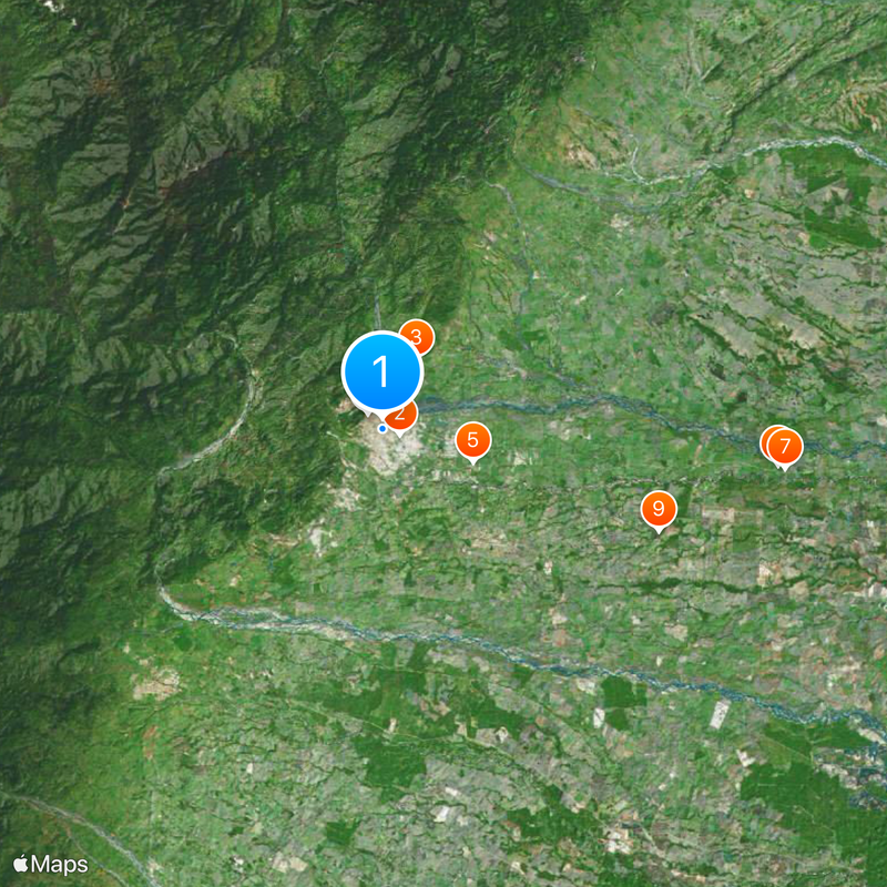
Villavicencio is an administrative capital in Meta Department, Colombia, positioned along the eastern slopes of the Andean range. The city sits between rivers and wide agricultural plains that open toward the east.
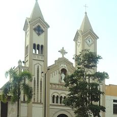
The settlement was founded on April 6, 1840, and named after an independence advocate. Over time, the village grew into a regional trade center.
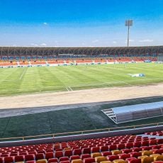
The name honors an independence advocate, while locals today see the city as the gateway to the plains. Many residents maintain joropo music traditions, whose rhythms fill festivals and street corners throughout the year.
The city lies about 75 kilometers from Bogotá along a highway, while the local airport receives domestic flights. Traveling down from the capital to the warmer plains usually takes a few hours by road.
Agricultural products pass through many processing facilities, including distilleries, coffee-roasting plants, rice mills, and traditional leather workshops. These operations shape the cityscape and show the connection between the surrounding plains and local craftspeople.
The community of curious travelers
AroundUs brings together thousands of curated places, local tips, and hidden gems, enriched daily by 60,000 contributors worldwide.