
Bejuco, district in Nandayure canton, Guanacaste province, Costa Rica
Location: Nandayure Canton
Elevation above the sea: 10 m
GPS coordinates: 9.82615,-85.30126
Latest update: April 4, 2025 02:03
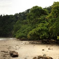
Cabo Blanco Absolute Natural Reserve
36.4 km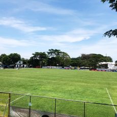
Estadio Asociación Cívica Jicaraleña
24.8 km
Spiaggia Carrillo
21.4 km
Nicolas Wessberg Absolute Natural Reserve
32 km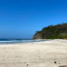
Playa Barrigona
31 km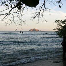
Cabo Blanco Lighthouse
37.8 km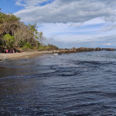
Playa Piedra Colorada
32.3 km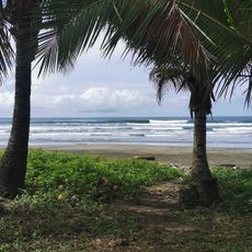
Playa Coyote
4.5 km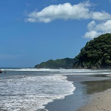
Playa Corozalito
8.8 km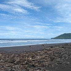
Playa Camaronal
15.8 km
Playa Naranjo
38.8 km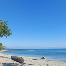
Playa Cedro
32.8 km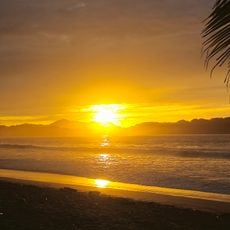
Samara Beach
24.6 km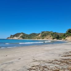
Playa Barco Quebrado
33 km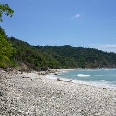
Playa Cabo Blanco
36 km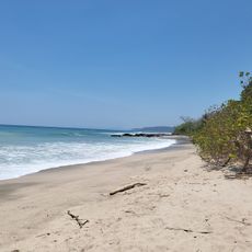
Playa Mal País
30.5 km
Santa Teresa Beach
23.9 km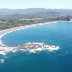
Playa Buena Vista
28.8 km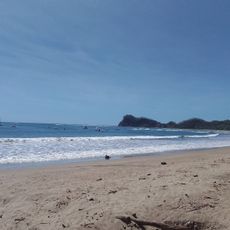
Playa Garza
38.3 km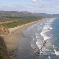
Playa San Miguel
1.9 km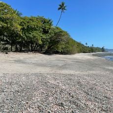
Playa Cocal Grande
21.4 km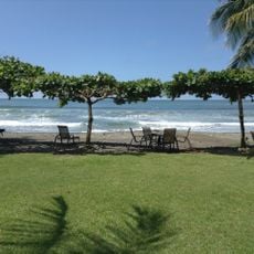
Playa La Islita
11.5 km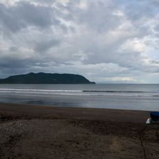
Tambor Beach
33.2 km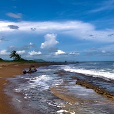
Playa Caletas
8.8 km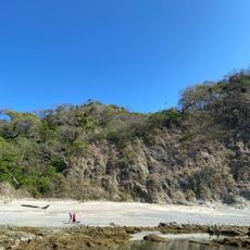
Beach Izquierda
27.1 km
Playa Arío
15.3 km
Playa Española
30.4 km
Playa Leña
32.6 kmReviews
Visited this place? Tap the stars to rate it and share your experience / photos with the community! Try now! You can cancel it anytime.
Discover hidden gems everywhere you go!
From secret cafés to breathtaking viewpoints, skip the crowded tourist spots and find places that match your style. Our app makes it easy with voice search, smart filtering, route optimization, and insider tips from travelers worldwide. Download now for the complete mobile experience.

A unique approach to discovering new places❞
— Le Figaro
All the places worth exploring❞
— France Info
A tailor-made excursion in just a few clicks❞
— 20 Minutes