
Nandayure Canton, canton in Guanacaste province, Costa Rica
Location: Guanacaste Province
Capital city: Carmona
Elevation above the sea: 420 m
Shares border with: Hojancha Canton, Puntarenas Canton, Nicoya Canton
Website: https://nandayure.go.cr
GPS coordinates: 10.00000,-85.25000
Latest update: March 11, 2025 04:26
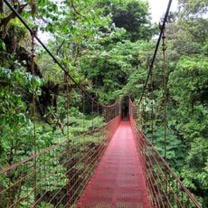
Monteverde Cloud Forest Reserve
60.9 km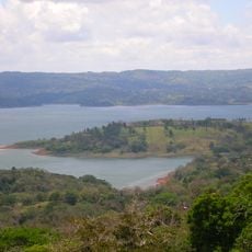
Lake Arenal
68.8 km
San Lucas Island
38.5 km
Puente La Amistad de Taiwán
27.5 km
Carara National Park
73.8 km
Palo Verde National Park
44.9 km
Cabo Blanco Absolute Natural Reserve
51.5 km
Playa Negra
67.1 km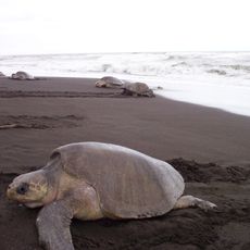
Ostional Wildlife Refuge
51.2 km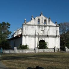
Church of Saint Blaise of Nicoya
27.6 km
Barra Honda National Park
21.5 km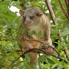
Selvatura Park
63 km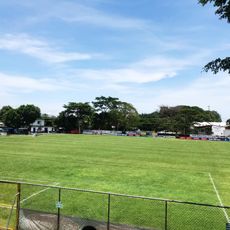
Estadio Asociación Cívica Jicaraleña
15.1 km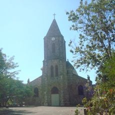
Our Lady of Mount Carmel Cathedral, Puntarenas
45.6 km
Curi Cancha Wildlife Refuge
59.8 km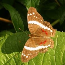
Butterfly Conservatory
72.1 km
Tivives Protected Zone
60.9 km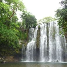
Llanos de Cortés Waterfall
58.7 km
Nicolas Wessberg Absolute Natural Reserve
42.7 km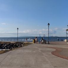
Phare de Puntarenas
43.8 km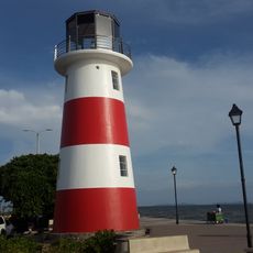
Lighthouses in Puntarenas
46.9 km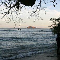
Cabo Blanco Lighthouse
53.2 km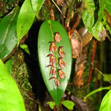
Monteverde Orchid Garden
58.6 km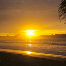
Samara Beach
32.8 km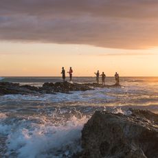
Santa Teresa Beach
39.8 km
Tamarindo Beach
73 km
Playa San Miguel
22 km
Playa La Islita
23.4 kmVisited this place? Tap the stars to rate it and share your experience / photos with the community! Try now! You can cancel it anytime.
Discover hidden gems everywhere you go!
From secret cafés to breathtaking viewpoints, skip the crowded tourist spots and find places that match your style. Our app makes it easy with voice search, smart filtering, route optimization, and insider tips from travelers worldwide. Download now for the complete mobile experience.

A unique approach to discovering new places❞
— Le Figaro
All the places worth exploring❞
— France Info
A tailor-made excursion in just a few clicks❞
— 20 Minutes