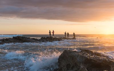
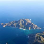
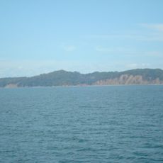
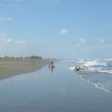
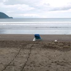
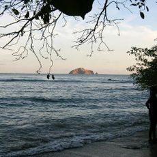
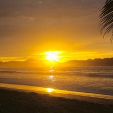
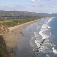
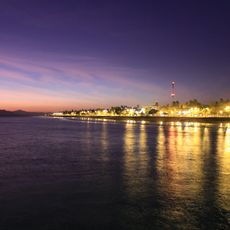
Santa Teresa Beach, Pacific coast beach in Cóbano, Costa Rica
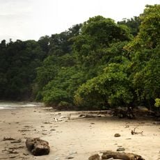
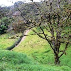
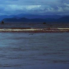
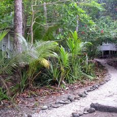
Santa Teresa Beach is a roughly 3-kilometer stretch of sand along the Pacific coast, bordered by dense tropical forest and palm trees. The shore slopes gently to the water and features white sand with natural rock formations in some areas.
The region was a remote fishing village for a long time until surfers began settling here in the early 2000s. This shift transformed it from an isolated place into a recognized international destination.
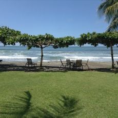
The beach community attracts people from around the world who have settled here and created a diverse food scene. Alongside local fish dishes, you find restaurants serving international cuisines that reflect the place's cosmopolitan character.
Visitors arrive via a domestic flight to Tambor Airport, followed by roughly a 50-minute drive through the Nicoya Peninsula. Access is fairly straightforward thanks to established roads and lodging options, though the route passes through rural terrain.
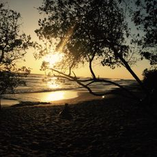
The combination of steady wave patterns and offshore winds creates surfing conditions year-round for people of all experience levels. This natural setup makes it a dependable spot for anyone wanting to get in the water.
The community of curious travelers
AroundUs brings together thousands of curated places, local tips, and hidden gems, enriched daily by 60,000 contributors worldwide.