Gatun Lake, Artificial lake in Colón, Panama
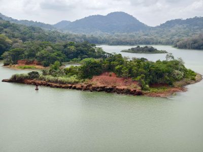
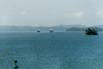
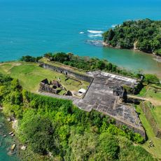
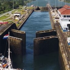
Gatun Lake is an artificial lake in central Panama, formed by damming the Chagres River to create a key passage for ships using the canal. The lake surrounds several forested islands and provides fresh water for the lock operations along the waterway.
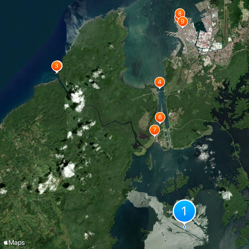
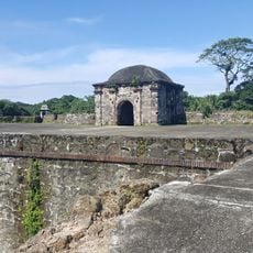
The damming of the Chagres River started in 1907 with the construction of Gatun Dam, creating a large water reservoir for canal operations. As the valley flooded, entire villages and railway lines disappeared beneath the rising water, and the tops of hills became the islands visible today.
The Smithsonian Tropical Research Institute on Barro Colorado Island conducts extensive studies of tropical ecosystems, contributing to scientific understanding since 1923.
Most visitors experience the lake from aboard a cruise ship or tour boat passing between the forested shores. Anglers find quiet spots along the banks where they can try for peacock bass and other freshwater species.
The water in the lake comes from tropical rainfall in the Chagres watershed, supplying both the lock chambers and drinking water networks in nearby cities. Barro Colorado Island hosts a Smithsonian research station that has been operating for nearly a century, drawing scientists from around the world.
The community of curious travelers
AroundUs brings together thousands of curated places, local tips, and hidden gems, enriched daily by 60,000 contributors worldwide.