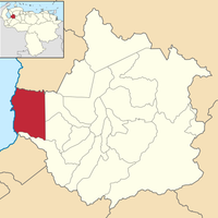
Trujillo, Andean state in northwestern Venezuela
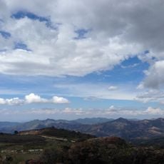
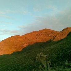
Trujillo is a state in northwestern Venezuela that covers mountainous land with the 4,006-meter peak Teta de Niquitao and borders Lake Maracaibo. The administrative capital sits in the city of the same name, while Valera forms the larger commercial hub and twenty municipalities connect through roads of the Pan-American network.
This region separated from Maracaibo Province as an independent administrative unit in 1810 and gained official recognition as a state in 1863. This restructuring changed the political landscape of Venezuela during the post-independence period.
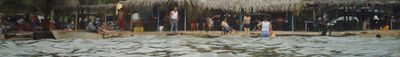
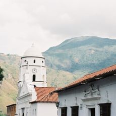
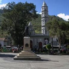
The name comes from the Spanish hometown of conquistador Diego García de Paredes and still connects this region with its colonial past. Visitors experience a different way of life in higher-altitude towns such as Boconó and Niquitao compared to busy Valera, where markets and commerce shape daily activity.
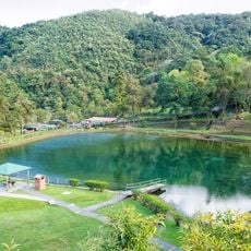
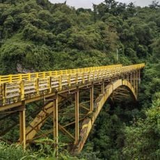
The Pan-American Highway crosses the entire territory from north to south and connects all major towns with paved roads, while secondary routes often feature steep climbs and switchbacks. Climate varies greatly with altitude, so travelers should plan clothing for different temperatures.
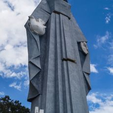
On a hill near the town of Chiquinquirá stands a monument to the Virgen de la Paz that rises 46 meters at an elevation of 1,700 meters, which visitors can climb through an interior staircase. From the viewing platform, you look out over wide portions of the state and the surrounding Andean valleys.
The community of curious travelers
AroundUs brings together thousands of curated places, local tips, and hidden gems, enriched daily by 60,000 contributors worldwide.