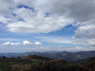
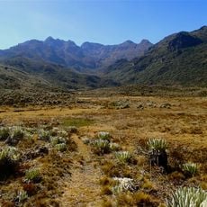
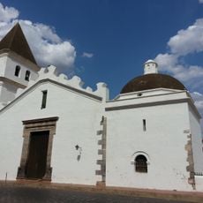
Dinira National Park, National park in western Venezuela.
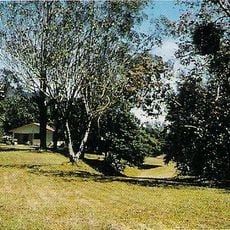
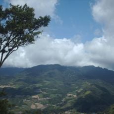
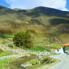
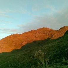
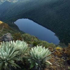
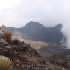
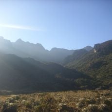
Dinira is a national park in western Venezuela that spans mountainous terrain across three states. The landscape varies from lower valleys to high peaks with different vegetation zones at each elevation level.
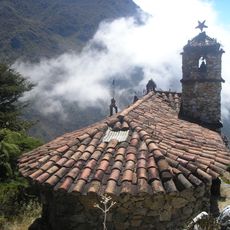
Indigenous peoples named this mountain area Dinira long before European arrival in the region. Spanish colonizers began mapping and surveying the mountains during the early colonial period.
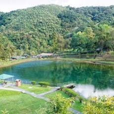
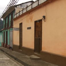
The mountain region serves as a crucial water source for surrounding communities and villages. Local residents depend on the springs and streams for daily water needs and farming activities.
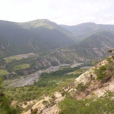
The terrain is challenging to visit and requires good physical fitness and proper hiking equipment. The best time to visit is during the drier season when conditions are more stable.
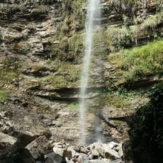
The area contains karst formations with several caves and a red-colored waterfall whose tint comes from minerals in the rocks. These geological features make the region particularly interesting for nature enthusiasts.
Inception: 1988
Elevation above the sea: 2,450 m
GPS coordinates: 9.43078,-70.17159
Latest update: December 8, 2025 19:57
Monumento a la Virgen de la Paz
33.2 km
Sierra Nevada National Park
112.4 km
Obelisco de Barquisimeto
114.1 km
Basilica of the National Shrine of Our Lady of Coromoto
72.2 km
Yacambú National Park
59.8 km
Volcán de Sanaré
73.9 km
Llano del Hato National Astronomical Observatory
105.2 km
Sierra La Culata National Park
111.7 km
Estadio Agustín Tovar
89.8 km
Teta de Niquitao-Guirigay Natural Monument
49.5 km
Guaramacal National Park
25.1 km
Laguna Negra
100.1 km
Loma de León Natural Monument
107.2 km
Cathedral of Our Lady of the Pillar
89.1 km
Cathedral Basilica of Our Lady of Coromoto
63.1 km
Cathedral of Our Lady of Peace, Trujillo
29.9 km
Pico Mucuñuque
102.2 km
St. John the Baptist Cathedral
84 km
Viaducto Agrícola "Batalla de Niquitao"
45.3 km
Basilica of St. Lucia, Timotes
79.9 km
Alto de Timotes
96.1 km
Pico Mifés
102.2 km
Capilla del Filo del Tisure
103.5 km
Monte Carmelo
75.5 km
El Guache National Park
68.8 km
Chorro San Miguel
61.9 km
Museo de Arte Acarigua-Araure
106.1 km
Capilla de Piedra de San Rafael de Mucuchies
106.3 kmVisited this place? Tap the stars to rate it and share your experience / photos with the community! Try now! You can cancel it anytime.
Discover hidden gems everywhere you go!
From secret cafés to breathtaking viewpoints, skip the crowded tourist spots and find places that match your style. Our app makes it easy with voice search, smart filtering, route optimization, and insider tips from travelers worldwide. Download now for the complete mobile experience.
A unique approach to discovering new places❞
— Le Figaro
All the places worth exploring❞
— France Info
A tailor-made excursion in just a few clicks❞
— 20 Minutes