Volcán de Sanaré, mountain in Lara State, Venezuela
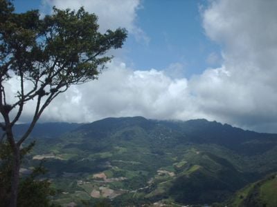
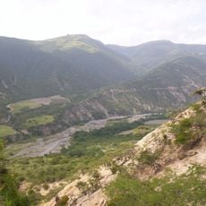
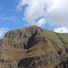
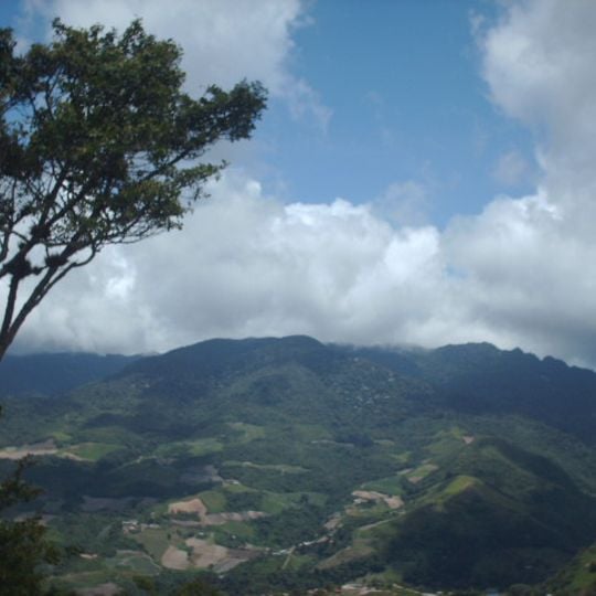
Volcán de Sanaré is a mountain mass in southern Andrés Eloy Blanco Municipality, Lara State, at the northern edge of Yacambú National Park. It includes Cerro La Tigrera (2,075 m) and Cerro Culebra (2,088 m), with the main summit at about 1,987 m. Its slopes are covered in dense green forest broken by patches of open ground; no crater is visible.
In 1579 the cabildo of El Tocuyo reported to the Council of the Indies a "large volcano" eight leagues east with three smoking mouths smelling of sulfur, earth used to make black ink, and roaring followed by tremors. In 1835 residents told El Tocuyo authorities that a volcano had burst; a Barquisimeto commission returned terrified by smoke, ash-like stones and resin seeping from the ground. Panic returned in 1892 and 1927 with smoke, gun-like noise, heat, cracks and small slides. In 1931 Melchor Centeno Grau's report identified the phenomena as fumaroles, not a volcano.
The name comes from the nearby town of Sanare, 7 km to the west, and locals still call the mountain a volcano although it only vents steam. The 1579 report from the Cabildo of El Tocuyo noted that the sulfurous earth was used to make black writing ink and dye. The mountain lies at the northern edge of Yacambú National Park, in Palo Verde, Andrés Eloy Blanco Municipality.
Access is available via marked trails starting from either Bojó or Cubiro villages, and sturdy hiking boots plus weather-resistant clothing are needed for the trek. Temperatures vary significantly depending on elevation, so visitors should prepare for changing conditions.
Scientific research conducted in 1931 revealed that the formation is not a true volcano but rather a fumarole system with residual volcanic activity. This finding completely changed how geologists understood the geological processes at work here.
The community of curious travelers
AroundUs brings together thousands of curated places, local tips, and hidden gems, enriched daily by 93,786 contributors worldwide.