Cumaripa Reservoir Recreational Park, Reservoir recreational park in Yaracuy, Venezuela.
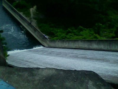
Cumaripa Reservoir is formed by a straight concrete gravity dam on the Yaracuy River at Faltriquera, 4 km southeast of Chivacoa. The dam stands 29.20 m high with a 187 m crest, and its frontal free spillway discharges up to 500 m³/s. Four Rodney Hunt sliding gates, each 1.50 x 1.50 m, regulate the intake. The reservoir covers 850.75 hectares.
The dam was built in 1967 under President Raul Leoni to improve irrigation and water management for the Yaracuy region. It was designed as part of broader infrastructure development for local needs.
The reservoir takes its name from the Cumaripa Bridge, 4 km upstream, and is formally called the Ing. Francisco C. Amelinck Reservoir after its chief civil engineer. Its water irrigates 1,600 hectares across the Bruzual, Sucre, Urachiche and San Felipe municipalities and supplies San Felipe and Cocorote.
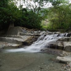
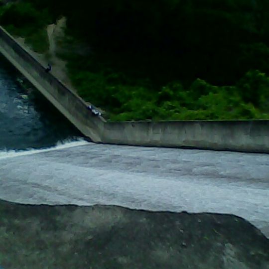
The dam lies 4 km southeast of Chivacoa, near the road linking Chivacoa and Nirgua, at the Faltriquera site. The concrete spillway shown in photographs has a narrow upper chute and a wide flat apron below; its wet lower edge stays slippery. The reservoir is fed by the Yaracuy and Sarare rivers, and sediment now sits three metres above the intake structure.
The reservoir is also called Ing. Francisco C. Amelinck Reservoir, after its chief civil engineer. Sediment washed down from farmland now lies three metres above the intake structure, a detail visible in the reservoir's silting.
The community of curious travelers
AroundUs brings together thousands of curated places, local tips, and hidden gems, enriched daily by 93,764 contributors worldwide.