Enable Location

We need your location to show you interesting places around you

Discover nearby places

Find interesting locations and hidden gems around you

Precise directions

Get accurate directions and distances to places

Your location is never shared with other users. It's only used when you tap the location button.

Yaracuy

Log in to your account

Start exploring — it's free

Trusted by 61,865 travelers worldwide

Continue with Google
Continue with Apple
or

We will send you a code to connect

By continuing, you accept our Terms and Conditions and our Privacy Policy

Check your inbox

We've sent a pincode in your inbox. Please enter the code below.

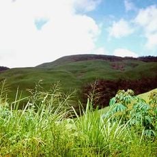
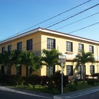
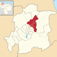
Yaracuy, State in northwestern Venezuela

Description

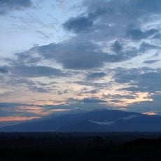
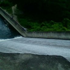
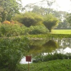
This state in northwestern Venezuela lies between the Segovia Highlands and the central mountain range. The fertile valley of the Yaracuy River runs at around 267 meters (875 feet) above sea level and forms the agricultural center of the region.

History

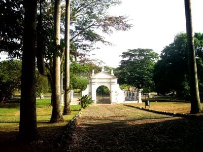
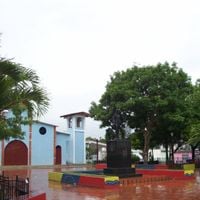
Explorer Nicolás Federman crossed this area in 1530 and named it Valle de las Damas, before it became a Spanish province. The state received its current form and name in 1899, after the river that runs through the territory.

Culture

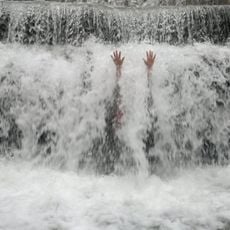
The Maria Lionza devotion shapes religious life across this region, with many believers making pilgrimages to Sorte Mountain to perform rituals. On festival days, groups of followers gather and hold ceremonies that combine elements from indigenous, Catholic and Afro-American traditions.

Practical

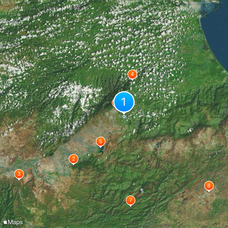
The Pan-American Highway links the capital San Felipe with Puerto Cabello to the northeast and Barquisimeto to the southwest, providing access to major towns. Visitors exploring the region should plan to use a vehicle, as many areas lie away from the main road.

Did you know?

The Jirajaras, Guayones and Caquetíos were the first inhabitants of this area and lived from hunting, fishing and growing corn and cassava. Some of their descendants today still preserve techniques for making pottery and processing plant fibers, which they pass on to visitors in small workshops.

Location
Inception
1899
Capital city
San Felipe
Elevation above the sea
267 m
Reference
YA
Shares border with
Falcón, Lara, Cojedes, Carabobo
Address
Yaracuy, Venezuela
GPS coordinates
10.30000,-68.70000
Latest update
December 15, 2025 08:34

AroundUs brings together thousands of curated places, local tips, and hidden gems, enriched daily by 60,000 contributors worldwide. Discover all places nearby (Venezuela).

« Yaracuy - State in northwestern Venezuela » is provided by Around Us (aroundus.com). Images and texts are derived from Wikimedia project under a Creative Commons license. You are allowed to copy, distribute, and modify copies of this page, under the conditions set by the license, as long as this note is clearly visible.

Discover hidden gems everywhere you go!

From secret cafés to breathtaking viewpoints, skip the crowded tourist spots and find places that match your style. Our app makes it easy with voice search, smart filtering, route optimization, and insider tips from travelers worldwide. Download now for the complete mobile experience.

Around Us App Screenshot

A unique approach to discovering new places

Le Figaro

All the places worth exploring

France Info

A tailor-made excursion in just a few clicks

20 Minutes

Around Us
Travel Guide & Maps
Download

Send to your phone

QR Code
1

Open the camera app on your mobile.

2

Point at the QR code with your camera. A notification will appear.

3

Tap the notification to open the link.