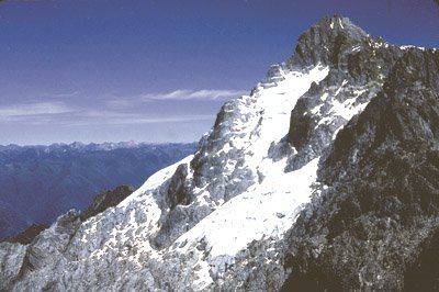
Sierra Nevada National Park, National park in western Venezuela.
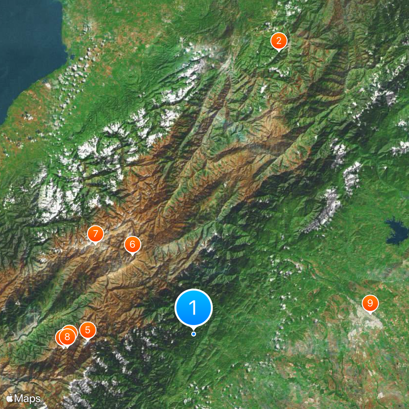
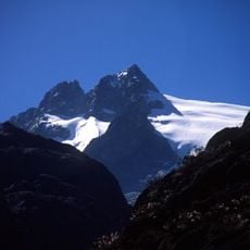
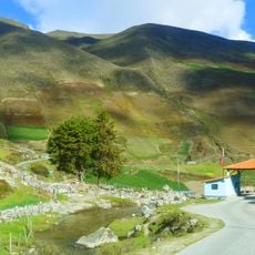
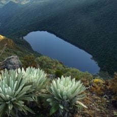
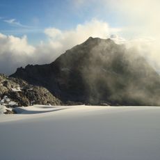
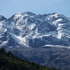
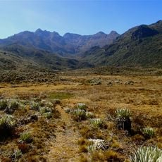
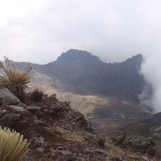
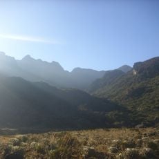
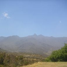
Sierra Nevada National Park stretches across the states of Mérida and Barinas, covering mountain slopes, cloud forests, and natural alpine lakes. The protected area preserves several climate zones from warm valleys to the icy heights near the peaks.
The protected area was created in 1952 on the initiative of President Germán Suárez Flamerich following recommendations from the University of the Andes. The establishment aimed to preserve Venezuela's remaining glacier surfaces and their surroundings for the long term.
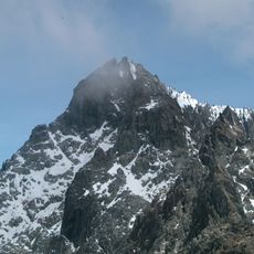
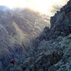
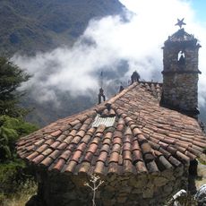
The name recalls the snow-capped peaks of the Spanish Sierra Nevada, a designation from colonial times. Climbers and hikers from across the country come here to experience the Andean summits and connect with the high mountain world.
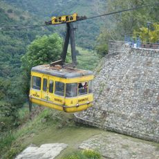
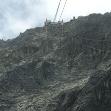
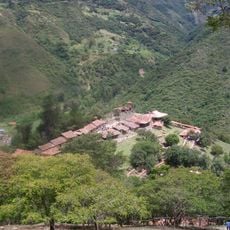
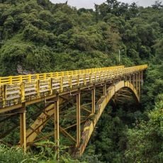
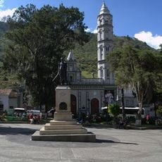
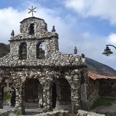
The area can be reached through several entry points, including cable car stations in Mérida and the road through Tabay village. The high elevation requires time to adjust, especially when coming from lower altitudes.
The park contains thirteen watersheds that feed both Lake Maracaibo and the Orinoco River system. This dual water supply makes the protected area a source for two very different regions of the country.
Inception: 1952
Website: http://inparques.gob.ve/index.php?parques=view&codigo=pn_0002&sec=1
GPS coordinates: 8.56667,-70.70000
Latest update: December 5, 2025 22:23
Venezuela offers a range of landscapes for photographers. The country features impressive waterfalls, sand dunes, coral reefs, and dramatic mountain formations. Angel Falls drops 979 meters between steep table mountains and ranks among the world's highest waterfalls. Along the coast, turquoise beaches and islands display clear water and coral gardens. Mountain ranges extend down to the sea, creating sharp contrasts between peaks and shorelines. The landscape shifts between rainforest, grasslands, and coastal areas, each with its own character and light.
Monumento a la Virgen de la Paz
90.9 km
Pico Bolívar
38.4 km
Mérida cable car
40.2 km
Humboldt peak
32.7 km
Llano del Hato National Astronomical Observatory
30.9 km
Sierra La Culata National Park
41 km
Pico Espejo
39.1 km
Estadio Agustín Tovar
54.6 km
Teta de Niquitao-Guirigay Natural Monument
65.5 km
Guaramacal National Park
90.4 km
Laguna Negra
27.1 km
Botanical Garden of Mérida
49.3 km
Los Aleros
37.6 km
Pico Bonpland
33.6 km
Cathedral of Our Lady of the Pillar
54.5 km
Pico La Concha
36 km
Pico El León
44.7 km
Pico Mucuñuque
23.9 km
Viaducto Agrícola "Batalla de Niquitao"
67.3 km
Basilica of St. Lucia, Timotes
46.6 km
Alto de Timotes
34.8 km
Pico Mifés
24.4 km
Capilla del Filo del Tisure
19.1 km
Monte Carmelo
70.3 km
Parque Zoológico Chorros de Milla
49.6 km
Cathedral Basilica of the Immaculate Conception
49 km
Pico El Gavilán
33.4 km
Capilla de Piedra de San Rafael de Mucuchies
29.7 kmVisited this place? Tap the stars to rate it and share your experience / photos with the community! Try now! You can cancel it anytime.
Discover hidden gems everywhere you go!
From secret cafés to breathtaking viewpoints, skip the crowded tourist spots and find places that match your style. Our app makes it easy with voice search, smart filtering, route optimization, and insider tips from travelers worldwide. Download now for the complete mobile experience.
A unique approach to discovering new places❞
— Le Figaro
All the places worth exploring❞
— France Info
A tailor-made excursion in just a few clicks❞
— 20 Minutes