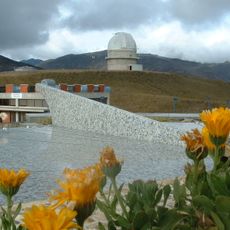
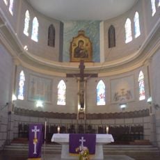
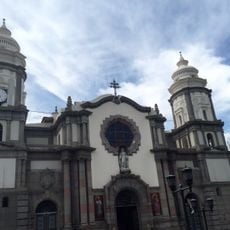
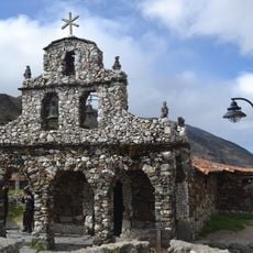
Sierra La Culata National Park, Mountain national park in western Venezuela.
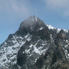
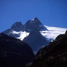
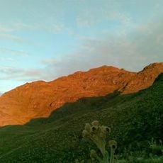
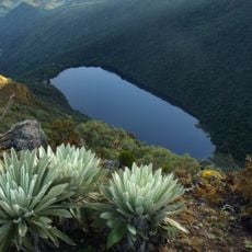
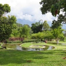
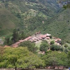
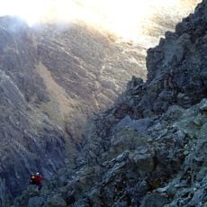
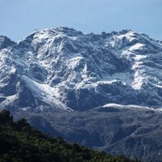
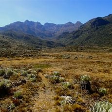
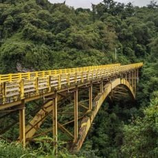
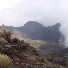
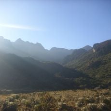
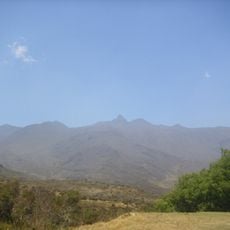
Sierra La Culata is a mountain national park in the Andes of western Venezuela covering around 200,000 hectares with habitats ranging from high-altitude grasslands to dense forests. The park contains numerous peaks and is crossed by rivers that flow through its varied elevations.
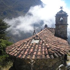
The Venezuelan government established this park in 1989 to protect the northeastern section of the Venezuelan Andes. This designation marked an important effort to safeguard the natural diversity of this mountain region for the long term.
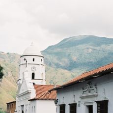
The park serves as a vital water source for surrounding communities, with streams flowing down to irrigate crops and supply villages in the foothills. This role as a provider of fresh water shapes how people in the region view and depend on this place.
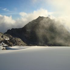
The park sits in mountainous terrain, so visitors should expect longer hikes and changing weather conditions at higher elevations. Good hiking boots and weatherproof clothing are necessary since conditions can shift quickly.
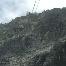
In one of the peaks called Piedras Blancas, researchers discovered a rare butterfly species without wings found nowhere else in the world. This singular species exists only at this location, making the peak a place of significant scientific interest.
The community of curious travelers
AroundUs brings together thousands of curated places, local tips, and hidden gems, enriched daily by 60,000 contributors worldwide.