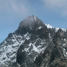
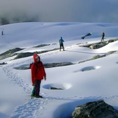
Pico Mucuñuque, Mountain summit in Sierra Nevada, Mérida, Venezuela.
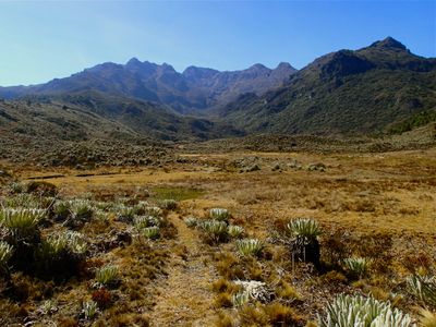
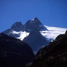
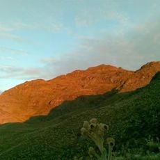
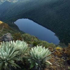
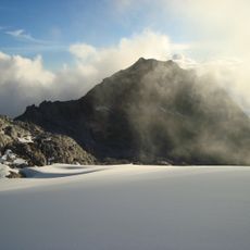
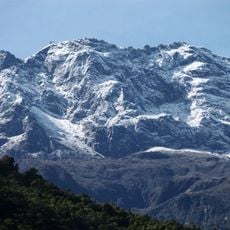
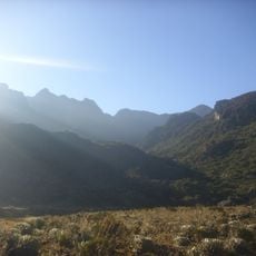
Pico Mucuñuque rises to approximately 4,600 meters (15,100 feet) above sea level and forms a prominent peak within the Sierra Nevada of the Venezuelan Andes. This mountain displays steep slopes and harsh high-altitude terrain that becomes increasingly barren rocky walls as elevation increases.
The peak served as a natural landmark for people crossing the Sierra Nevada, helping them navigate their routes through the mountain range. This prominent summit influenced travel paths and trade routes that were used across many generations in the region.
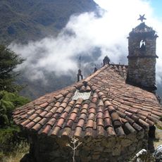
For residents of the surrounding villages, this peak represents a vital connection to their highland environment and the natural world that shapes daily life. People from the region visit to experience the landscape that anchors their identity and relationship with the mountains.
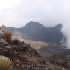
The climb begins from Laguna de Mucubají, and visitors should start early to reach the summit before afternoon storms develop at this altitude. Good physical fitness, mountaineering equipment, and time to acclimatize to high altitude are necessary to complete the ascent safely.
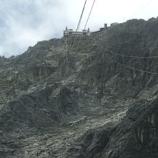
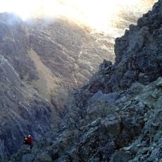
Just below the summit at around 4,500 meters (14,750 feet) lies a natural rock formation that creates a narrow corridor functioning as a gateway to the final ascent section. This geological feature creates a memorable passage for climbers who reach this point.
The community of curious travelers
AroundUs brings together thousands of curated places, local tips, and hidden gems, enriched daily by 60,000 contributors worldwide.