Mérida, State in western Venezuela.
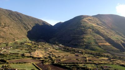
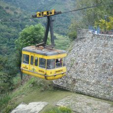
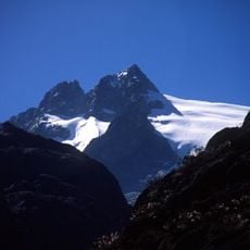
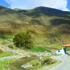
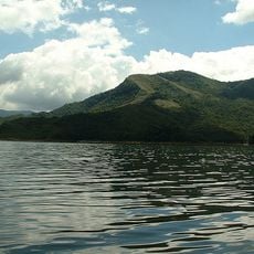
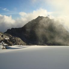
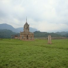
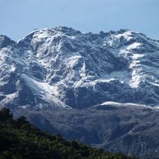
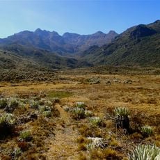
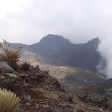
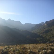
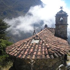
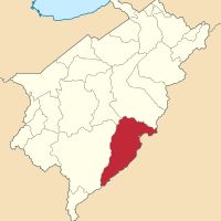
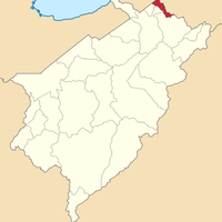
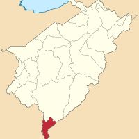
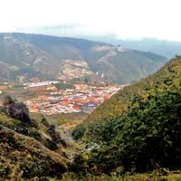
Mérida is a state in western Venezuela, organized into 23 municipalities that follow the line of the Venezuelan Andes. The territory combines mountain ranges, valleys, and plains with elevations climbing to 2933 meters (9623 feet) above sea level.
The region became an official state in 1864 after the Federal War, when it shifted from provincial status to a federal entity within Venezuela. This transformation reorganized the political structure of the western Andean region.
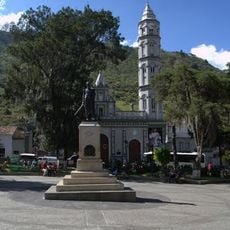
The Universidad de Los Andes brings together students from across the country and shapes the intellectual rhythm of the region through its campuses and libraries. Academic life forms a core part of daily activity in the cities where the university maintains its facilities.
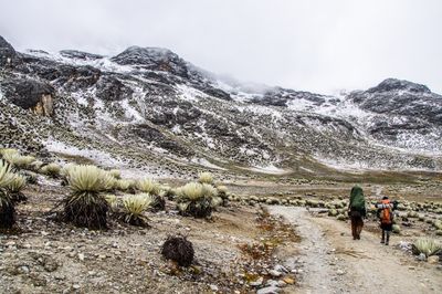
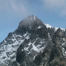
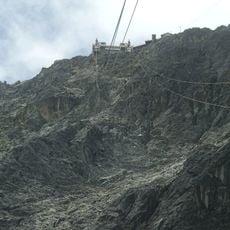
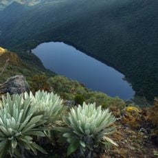
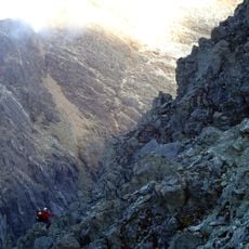
The territory contains several national parks and protected areas suitable for walking, climbing, and exploring different climate zones. The wide range of altitudes calls for proper preparation and adjustment to thinner air at higher elevations.
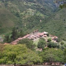
Agricultural traditions adapt to the different altitude zones, allowing coffee cultivation in middle elevations and cacao in warmer valleys. The temperature shifts between tiers create conditions for various crops within a short distance.
Location: Venezuela
Inception: 1864
Capital city: Mérida
Elevation above the sea: 2,933 m
Reference: ME
Part of: Andean Region
Shares border with: Zulia, Trujillo, Barinas State, Táchira
Website: http://merida.gob.ve
GPS coordinates: 8.51667,-71.26667
Latest update: December 13, 2025 17:08
Pico Bolívar
24.2 km
Mérida cable car
22.4 km
Sierra Nevada National Park
62.6 km
Humboldt peak
30 km
Potosí
76.2 km
Llano del Hato National Astronomical Observatory
52.8 km
Sierra La Culata National Park
46.3 km
Pico Espejo
23.5 km
Laguna Negra
58.9 km
Botanical Garden of Mérida
18 km
Tapo-Caparo National Park
96.8 km
Los Aleros
31.3 km
Pico Bonpland
29 km
Hacienda La Victoria
38.4 km
Science and Technology Museum of Merida
9.9 km
Isidore the Laborer Church, Potosí
76.3 km
Meseta la Galera Natural Monument
43.2 km
Pico La Concha
26.8 km
Pico El León
18.2 km
Pico Mucuñuque
57.6 km
Our Lady of Perpetual Help Cathedral, El Vigia
43.6 km
Pico Los Nevados
54.2 km
Basilica of St. Lucia, Timotes
77.8 km
Río Mocotíes
33.6 km
Alto de Timotes
61.7 km
Pico Mifés
57.4 km
Capilla del Filo del Tisure
58.4 km
Tapías
68 kmVisited this place? Tap the stars to rate it and share your experience / photos with the community! Try now! You can cancel it anytime.
Alberto Adriani
Andrés Bello
Antonio Pinto Salinas
Aricagua
Arzobispo Chacón
Campo Elías
Caracciolo Y Parra Olmedo
Cardenal Quintero Municipality
Guaraque
Julio César Salas
Justo Briceño
Libertador
Miranda
Obispo Ramos de Lora
Padre Noguera
Pueblo Llano
Rangel
Rivas Dávila
Santos Marquina
Sucre
Tovar
Tulio Febres Cordero
Zea
Discover hidden gems everywhere you go!
From secret cafés to breathtaking viewpoints, skip the crowded tourist spots and find places that match your style. Our app makes it easy with voice search, smart filtering, route optimization, and insider tips from travelers worldwide. Download now for the complete mobile experience.
A unique approach to discovering new places❞
— Le Figaro
All the places worth exploring❞
— France Info
A tailor-made excursion in just a few clicks❞
— 20 Minutes