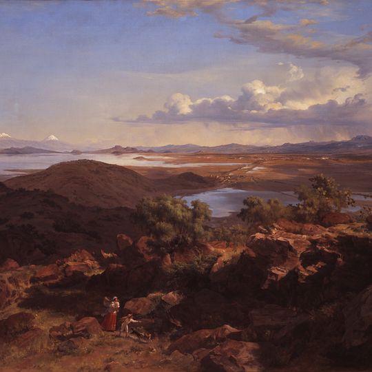
Lake Texcoco, Natural lake in central Mexico.
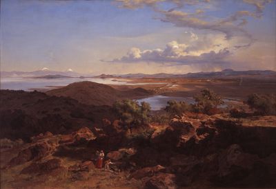
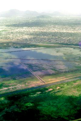
Lake Texcoco is a lake in central Mexico that has been largely drained and whose remaining areas consist of salt flats and wetlands. These zones lie in the eastern part of the Valley of Mexico at an altitude of 2,236 meters (7,336 feet) and still show traces of the former water landscape.
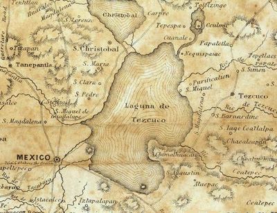
Lake Texcoco reached its greatest extent about 11,000 years ago, covering roughly 5,670 km2 at a depth of over 150 m, fed by snowmelt from surrounding ranges. The Mexica founded Tenochtitlan on a western islet in 1325 and built dams to keep the saline water apart from fresh inflows. After Cortés's 1521 siege the dams were destroyed, and drainage works from the 17th century onward left the basin under Mexico City.
The Mexica founded Tenochtitlan on an islet in the western part of the lake in 1325 and enlarged it with a system similar to chinampas, artificial plots of lake mud and vegetation. Dams separated the saline lake water from the freshwater effluents, and an inner network of channels controlled water levels. The name Texcoco comes from Nahuatl Tetzco(h)co.
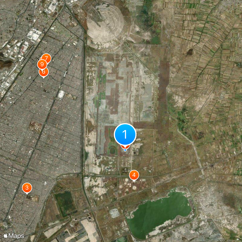
The lakebed lies east of the historic centre, around the Peñón de los Baños and the roads toward Chimalhuacán and Atenco, near Mexico City's airport. The ground is flat and dusty, with few trees and little shade, so bring water and sun protection. Rain from May to October can leave standing water and soft mud.
The draining of the lake has caused large parts of Mexico City to slowly sink as the soft ground compresses without water. Some buildings in the old town now show a clear difference in height between their foundations and the streets, a silent witness to this geological change.
The community of curious travelers
AroundUs brings together thousands of curated places, local tips, and hidden gems, enriched daily by 92,370 contributors worldwide.