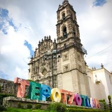
Teoloyucan Municipality, Administrative division in State of Mexico, Mexico.
Teoloyucan Municipality is an administrative area in the northeastern region of the State of Mexico, situated about 45 kilometers north of Mexico City at an elevation of 2,280 meters (7,480 feet). The region has well-developed electricity and water infrastructure, though internet access remains less common in many households across the territory.
The territory was documented before 1436 during the rule of Itzcoatl, as mentioned in the Codex Mendoza. Spanish colonial administration began in 1565 under Alonso de Ávila Alvarado.
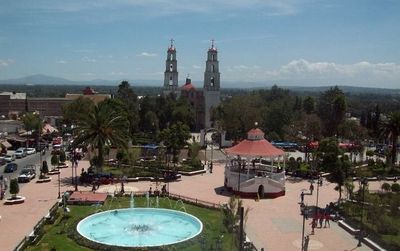
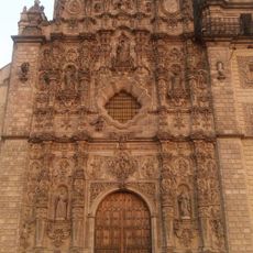
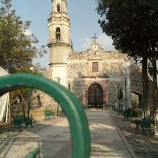
The population carries roots in both Mexica and Otomi traditions, visible in two 17th-century churches that stand as landmarks. These religious buildings shape the visual character of the place and connect residents to their past.
When visiting, you can rely on electricity and water being widely available across the area. However, plan ahead if you need internet or digital services, as connectivity coverage is still developing in many parts of the municipality.
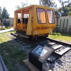
A Magnetic Observatory founded by Antonio Alzate and Alexander von Humboldt now stands near the municipal cemetery. This scientific facility was relocated to its current location in 1978 and continues to contribute to research on Earth's magnetic field.
The community of curious travelers
AroundUs brings together thousands of curated places, local tips, and hidden gems, enriched daily by 60,000 contributors worldwide.