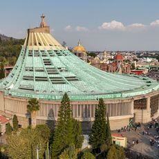
State of Mexico, Administrative division in central Mexico.
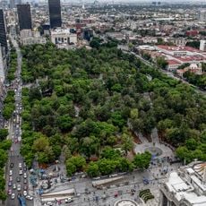
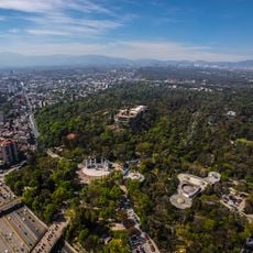
This administrative division wraps around the national capital, spreading across valleys, forested slopes, and high plains in central Mexico. The territory includes over 120 municipalities that range from industrial towns to agricultural communities surrounded by mountains and open fields.
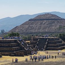
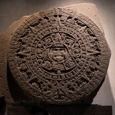
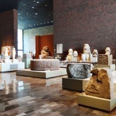
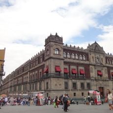
Before Spanish arrival, the area was home to powerful kingdoms including Texcoco, known for its libraries and scholars who influenced politics across the region. After independence, the modern boundaries were drawn from the core territories of the former viceroyalty, reshaping colonial divisions.
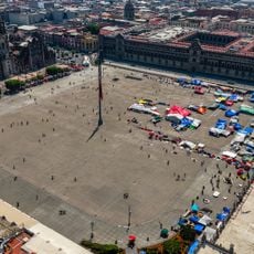
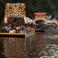
Local markets throughout the territory sell handmade pottery, textiles, and fresh produce brought directly by farmers and artisans from surrounding villages. People gather in town squares during weekends for food stalls, live music, and informal celebrations that reflect the pace of daily community life.
Major highways connect municipalities and make travel between rural and urban areas relatively straightforward, though traffic near the capital can slow movement during rush hours. Smaller roads reach remote villages and mountain zones, where conditions vary and signage may be limited outside main routes.
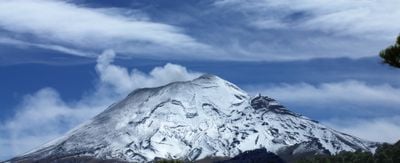
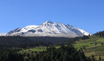
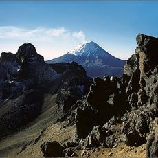
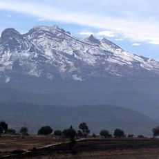
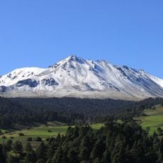
A volcano within the region holds two permanent crater lakes at an altitude exceeding 4000 meters (13,000 feet), reachable by a steep trail that climbs through thin air. On clear nights, the area serves as a favored spot for stargazing, with reduced light pollution allowing views of the Milky Way.
The community of curious travelers
AroundUs brings together thousands of curated places, local tips, and hidden gems, enriched daily by 60,000 contributors worldwide.