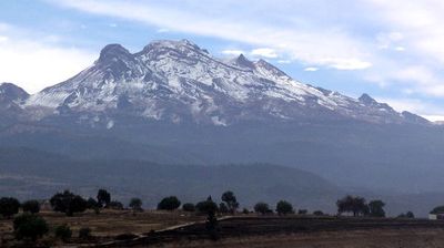
Iztaccihuatl, Dormant stratovolcano in Izta-Popo Zoquiapan National Park, Mexico
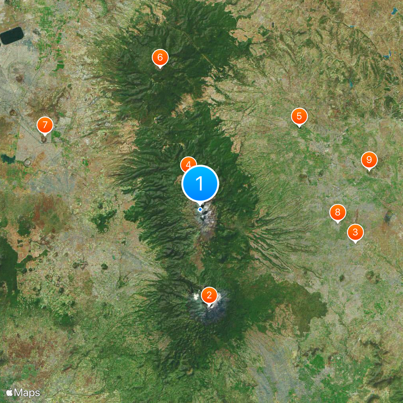
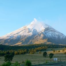
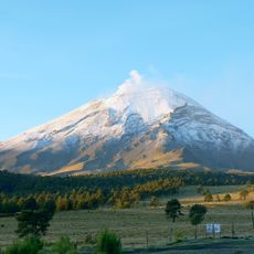
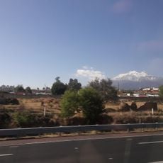
Iztaccíhuatl is a dormant stratovolcano in Izta-Popo Zoquiapan National Park, Mexico, rising to 5,230 meters (17,159 feet) and straddling the border between the State of Mexico and Puebla. Its four main summits are often snow-covered and stretch in a line that can be seen from the surrounding valleys.
The first recorded ascent took place in 1889 when James de Salis reached the summit, though archaeological evidence on the slopes suggests earlier climbs by Mesoamerican peoples. The volcano has been inactive for thousands of years and is composed mainly of andesite rock formed through multiple phases of eruption.
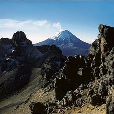
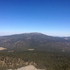
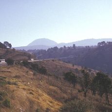
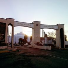
The Nahuatl name translates to White Woman, as the snow-covered summits resemble a reclining figure when seen from the valleys below. Local mountaineers and hikers use the trails to explore the slopes and take in views of the neighboring Popocatépetl massif.
Mountaineers typically reach the summit via the La Joya route during the dry season from November to March, when conditions on the mountain are more stable. The climb requires proper acclimatization and technical skills for ice and snow, especially in the upper sections.
The volcano is Mexico's third-highest peak and marks the lowest elevation in the country where permanent snowfields and glaciers still exist. The ice has been shrinking for decades due to climate changes, and future generations may find a completely ice-free landscape.
The community of curious travelers
AroundUs brings together thousands of curated places, local tips, and hidden gems, enriched daily by 60,000 contributors worldwide.