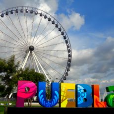
Puebla, State in east-central Mexico
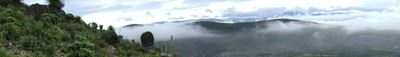
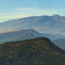
Puebla is a state in east-central Mexico, positioned between the highlands and the Gulf coast. The territory stretches across different landscapes, with volcanic peaks to the west, temperate valleys in the center, and subtropical slopes descending toward the coastal plain.
Founded after Mexican independence in 1823, this state controlled a key trade route between the capital and the port of Veracruz. During the French intervention in 1862, a decisive battle took place here, now commemorated every May.
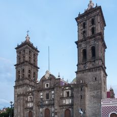
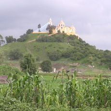
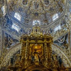
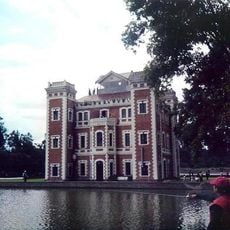
Five indigenous communities maintain their crafts in villages and weekly markets, where you can see handwoven textiles, handmade pottery, and local celebrations. The cuisine blends precolonial ingredients with colonial influences, something you can taste in fondas and family restaurants that prepare mole and chiles en nogada using recipes passed down through generations.
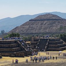
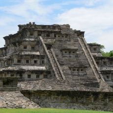
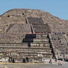
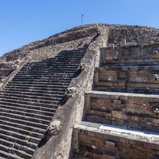
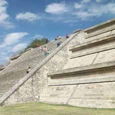
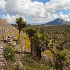
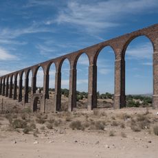
The capital and smaller colonial towns provide a good base for trips into the mountains and to nearby archaeological sites. Climate varies by altitude, with higher areas staying cooler even in summer and lower zones remaining warmer year-round.
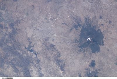
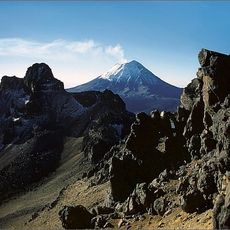
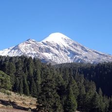
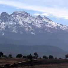
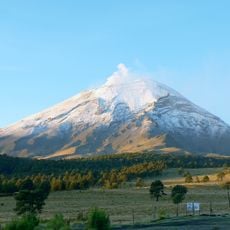
Along the border with Mexico state rises the dormant volcano Iztaccíhuatl, reaching 5230 meters above sea level and visible from several viewpoints along mountain roads. The region also hosts a major automotive industry, with the largest Volkswagen plant outside Germany and many suppliers located in industrial parks.
The community of curious travelers
AroundUs brings together thousands of curated places, local tips, and hidden gems, enriched daily by 60,000 contributors worldwide.