Chest opened
+${chestReward.xp} XP
Explorer
NOUVEAU ×${chestReward.collectible.quantity}
tapez pour fermer

See the monuments around you in AR Open chests in the app

Around Us is built for your phone — point your camera at the streets and discover the monuments and places around you in augmented reality. Around Us is built for your phone — chests unlock when you walk, explore and capture nearby places.

•

Enable Location

We need your location to show you interesting places around you

Discover nearby places

Find interesting locations and hidden gems around you

Precise directions

Get accurate directions and distances to places

Your location is never shared with other users. It's only used when you tap the location button.

Matamoros

Log in to your account

Start exploring — it's free

Trusted by 89,886 travelers worldwide

Continue with Google
Continue with Apple
or

We will send you a code to connect

By continuing, you accept our Terms and Conditions and our Privacy Policy

Check your inbox

We've sent a pincode in your inbox. Please enter the code below.

Matamoros
Discussion Reviews 2 Photos
121k Popularity

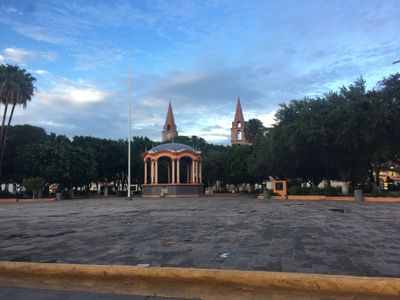
Matamoros, Border city in Tamaulipas, Mexico

Audio guide · About one minute
Preparing your audio guide… The audio guide could not be loaded, please retry.Sign in to listen to the audio guide

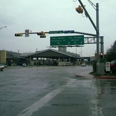
Matamoros is a border city in Tamaulipas, Mexico, spreading along the southern bank of the Rio Grande river. Four international bridges connect it to Brownsville, Texas, making the city an important transit point between the two countries.

The city developed in the 1820s as a trading post on the Rio Grande river. During the Mexican-American War in the 1840s, it served as a strategic military base.

The city takes its name from Mariano Matamoros, an independence hero and priest who fought in the early 19th century. Many downtown streets carry historical names that recall different episodes of Mexican history.

The main route runs through downtown, where banks and exchange offices sit next to each other. Visitors should expect long waiting times at bridge crossings, especially on weekdays.

Playa Bagdad sits about 27 kilometers east and transforms into a regional recreation center during Holy Week. Fishermen organize regular tournaments there, displaying their catches on the beach.

The community of curious travelers

AroundUs brings together thousands of curated places, local tips, and hidden gems, enriched daily by 60,000 contributors worldwide.

Start exploring
Location
Inception
1774
Elevation above the sea
9 m
Part of
Mexico–United States border
GPS coordinates
25.88102,-97.50649
Latest update
September 11, 2026 18:32
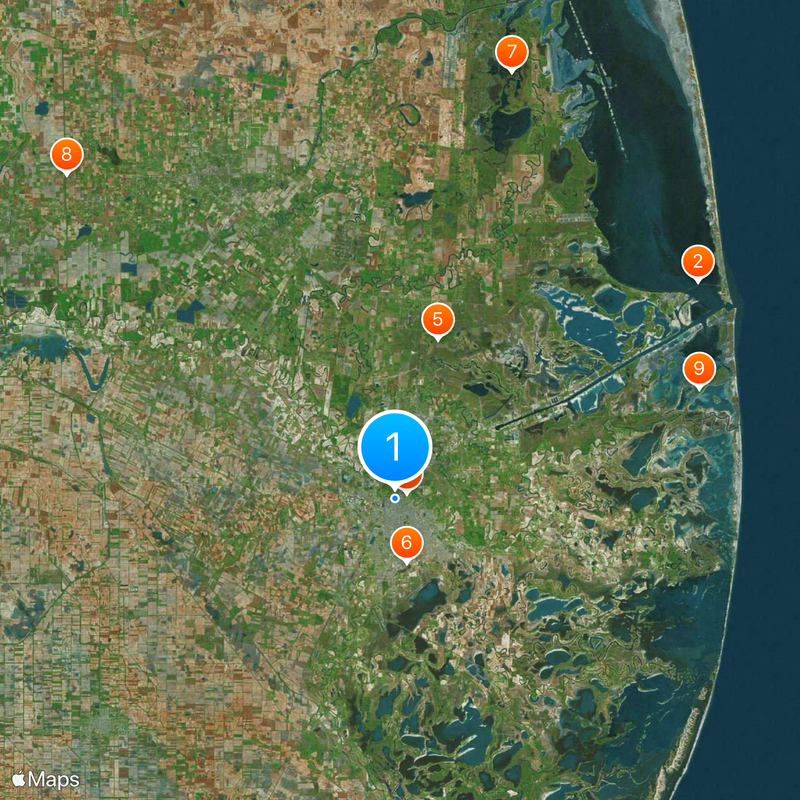
Around this place
Fort Brown
United States of America

Fort Brown

0.9 mi
Brownsville & Matamoros International Bridge
United States of America

Brownsville & Matamoros International Bridge

0.8 mi
Gateway International Bridge
United States of America

Gateway International Bridge

1.3 mi
Parque Olímpico
Mexico

Parque Olímpico

0.4 mi
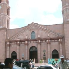
Our Lady of Refuge Cathedral, Matamoros
Mexico

Our Lady of Refuge Cathedral, Matamoros

0.2 mi
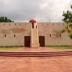
Fuerte Castamata
Mexico

Fuerte Castamata

0.6 mi
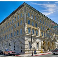
United States Court House, Custom House, and Post Office
United States of America

United States Court House, Custom House, and Post Office

1.5 mi
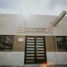
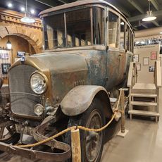
Museo del Ferrocarril de Matamoros
Mexico

Museo del Ferrocarril de Matamoros

0.4 mi
Brownsville Heritage Museum
United States of America

Brownsville Heritage Museum

1.5 mi
United States of America

Brooks, Samuel Wallace, House

1.6 mi
United States of America

City Hall and Market House

1.6 mi
United States of America

Home of Chas. Stillman

1.5 mi
United States of America

Yturria Bank Building

1.5 mi
United States of America

Launching Site of First U.S. Army Warplane

1.5 mi
United States of America

Russell-Cocke House

1.6 mi
United States of America

The Gem

1.4 mi
United States of America

Public Market and Town Hall

1.6 mi
United States of America

San Roman Building

1.5 mi
United States of America

Fort Brown Cavalry Barracks

1.5 mi
United States of America

Post Hospital Annex

1.5 mi
United States of America

Fort Brown, Buildings 85 and 86

1.5 mi
United States of America

Stillman, Charles, House

1.5 mi
United States of America

Post Hospital

1.5 mi
United States of America

Fort Brown Commissary/Guardhouse

1.5 mi
United States of America

Celaya, Augustine, House

1.6 mi
United States of America

Neale House

1.1 mi
Mexico

Teatro de la Reforma

0.1 mi
Mexico

Pescado el Laguito

1.3 mi
Show the full map
Reviews
Share your experience

No review yet

Discussions
Start a discussion...

No discussion yet

« Matamoros - Border city in Tamaulipas, Mexico » is provided by Around Us (aroundus.com). Images and texts are derived from Wikimedia project under a Creative Commons license. You are allowed to copy, distribute, and modify copies of this page, under the conditions set by the license, as long as this note is clearly visible.

Discover hidden gems everywhere you go!

From secret cafés to breathtaking viewpoints, skip the crowded tourist spots and find places that match your style. Our app makes it easy with voice search, smart filtering, route optimization, and insider tips from travelers worldwide. Download now for the complete mobile experience.

Around Us App Screenshot
❝

A unique approach to discovering new places❞

— Le Figaro

❝

All the places worth exploring❞

— France Info

❝

A tailor-made excursion in just a few clicks❞

— 20 Minutes

Around Us
Travel Guide & Maps
Download

Send to your phone

QR Code
1

Open the camera app on your mobile.

2

Point at the QR code with your camera. A notification will appear.

3

Tap the notification to open the link.