Chest opened
+${chestReward.xp} XP
Explorer
NOUVEAU ×${chestReward.collectible.quantity}
tapez pour fermer
Chest locked

Open chests in the app

Around Us is built for your phone — chests unlock when you walk, explore and capture nearby places.

Enable Location

We need your location to show you interesting places around you

Discover nearby places

Find interesting locations and hidden gems around you

Precise directions

Get accurate directions and distances to places

Your location is never shared with other users. It's only used when you tap the location button.

Reynosa Municipality

Log in to your account

Start exploring — it's free

Trusted by 72,941 travelers worldwide

Continue with Google
Continue with Apple
or

We will send you a code to connect

By continuing, you accept our Terms and Conditions and our Privacy Policy

Check your inbox

We've sent a pincode in your inbox. Please enter the code below.

Reynosa Municipality
Discussion Reviews 1 Photos
17k Popularity

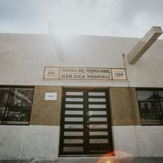
Reynosa Municipality, Administrative division in Tamaulipas, Mexico

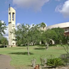
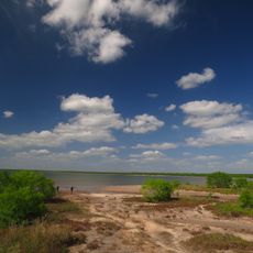
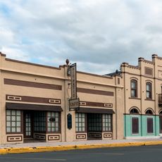
Municipio de Reynosa is an administrative division in northern Tamaulipas that borders the United States along the Rio Grande. The municipality encompasses diverse terrain and serves as a regional administrative center.

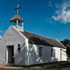
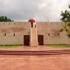
The settlement was founded in 1749 and relocated 8 kilometers east in 1802 due to flooding. This relocation shaped the present location and administrative structure of the municipality.

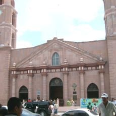
The municipality celebrates the Harvest Fair each August and holds traditional dances during the December 12 Virgin of Guadalupe festivities.

The territory encompasses several administrative sectors with different functions and services for residents and businesses. The best time to visit is during the dry season when roads and pathways are easily accessible.

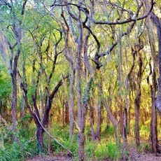
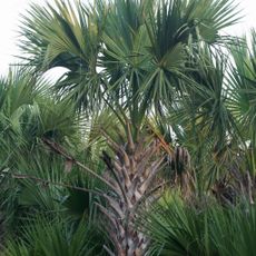
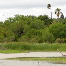
The territory contains different soil types that support various agricultural activities across the region. This varied soil composition forms the foundation of the area's economic activity.

The community of curious travelers

AroundUs brings together thousands of curated places, local tips, and hidden gems, enriched daily by 60,000 contributors worldwide.

Start exploring
GPS coordinates
25.83664,-98.37086
Latest update
December 7, 2025 19:25
Around this place
Basilica of the National Shrine of Our Lady of San Juan del Valle
United States of America

Basilica of the National Shrine of Our Lady of San Juan del Valle

45.6 km
Santa Ana National Wildlife Refuge
United States of America

Santa Ana National Wildlife Refuge

36.2 km
National Butterfly Center
United States of America

National Butterfly Center

38.3 km
La Lomita Chapel
United States of America

La Lomita Chapel

36 km
Lower Rio Grande Valley National Wildlife Refuge
United States of America

Lower Rio Grande Valley National Wildlife Refuge

65 km
Bentsen-Rio Grande Valley State Park
United States of America

Bentsen-Rio Grande Valley State Park

37.5 km
Parque Olímpico
Mexico

Parque Olímpico

87.2 km
Our Lady of Refuge Cathedral, Matamoros
Mexico

Our Lady of Refuge Cathedral, Matamoros

87 km
McAllen Convention Center
United States of America

McAllen Convention Center

42.1 km
Fuerte Castamata
Mexico

Fuerte Castamata

87.6 km
McAllen Public Library
United States of America

McAllen Public Library

46.9 km
McAllen Botanical Gardens
United States of America

McAllen Botanical Gardens

44.4 km
Estero Llano Grande State Park
United States of America

Estero Llano Grande State Park

52.4 km
First Lift Station
United States of America

First Lift Station

42 km
Topgolf
United States of America

Topgolf

43.5 km
Veterans War Memorial of Texas
United States of America

Veterans War Memorial of Texas

42 km
Border Theater
United States of America

Border Theater

42.4 km
United States Court House, Custom House, and Post Office
United States of America

United States Court House, Custom House, and Post Office

87.6 km
M and J Nelson Building
United States of America

M and J Nelson Building

42.8 km
Museo del Ferrocarril de Matamoros
Mexico

Museo del Ferrocarril de Matamoros

86.6 km
Reynosakatedralen
Mexico

Reynosakatedralen

30 km
Iwo Jima Museum Gift Shop
United States of America

Iwo Jima Museum Gift Shop

82.5 km
McAllen Heritage Center
United States of America

McAllen Heritage Center

42.8 km
Outdoor theater
Mexico

Outdoor theater

58.2 km
Rio Theater
United States of America

Rio Theater

41.9 km
Garmon Theater
United States of America

Garmon Theater

75.1 km
La Lomita Historic District
United States of America

La Lomita Historic District

35.6 km
Neuhaus Tower
United States of America

Neuhaus Tower

43 km
Show the full map
Reviews
Share your experience

No review yet

Discussions
Start a discussion...

No discussion yet

« Reynosa Municipality - Administrative division in Tamaulipas, Mexico » is provided by Around Us (aroundus.com). Images and texts are derived from Wikimedia project under a Creative Commons license. You are allowed to copy, distribute, and modify copies of this page, under the conditions set by the license, as long as this note is clearly visible.

Discover hidden gems everywhere you go!

From secret cafés to breathtaking viewpoints, skip the crowded tourist spots and find places that match your style. Our app makes it easy with voice search, smart filtering, route optimization, and insider tips from travelers worldwide. Download now for the complete mobile experience.

Around Us App Screenshot

A unique approach to discovering new places

Le Figaro

All the places worth exploring

France Info

A tailor-made excursion in just a few clicks

20 Minutes

Around Us
Travel Guide & Maps
Download

Send to your phone

QR Code
1

Open the camera app on your mobile.

2

Point at the QR code with your camera. A notification will appear.

3

Tap the notification to open the link.