Panhandle Plains Wildlife Trail, Wildlife observation trail system in Texas Panhandle, United States.
The Panhandle Plains Wildlife Trail is a route system that spans across sixty counties in northern Texas, connecting the towns of Abilene, Lubbock, Amarillo, Canadian, and Shamrock in a loop. The network divides into thirteen separate paths, each with its own driving route and viewing points.
Texas created this program as one of the first state initiatives to develop driving routes focused on habitat protection and community involvement. The system emerged to show how visitors could support conservation simply by exploring and learning about wildlife in their region.
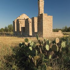
The trail brings people together to watch native animals in their natural home, including pronghorn antelopes, wild turkeys, and prairie chickens that roam the grasslands. Visitors stop at viewing points throughout the route to photograph and observe these creatures.
Information centers along the route provide detailed maps and wildlife guides to help you navigate the roads. Plan to drive at a relaxed pace and stop at marked viewing points, especially during early morning or late afternoon when animals are most active.
Part of the network includes sections within Lake Meredith National Recreation Area, with special observation areas along Cas Johnson Road and Blue West Road. These spots provide views over water and better chances to see waterfowl and water-loving animals.
The community of curious travelers
AroundUs brings together thousands of curated places, local tips, and hidden gems, enriched daily by 60,000 contributors worldwide.