Texas's 25th congressional district, Congressional district in Central Texas, United States.
Texas's 25th Congressional District spans from the Fort Worth metropolitan area through farmland to rural counties east of Abilene, joining urban and countryside regions. The territory covers several counties and shows central Texas's geographical range with its varied economic structures.
The district took its current shape following the 1980 census redistricting and underwent several later redrawing rounds. Changes moved the territory from southern regions to central Texas, with boundaries following political and population shifts.
The district population of 813,686 includes White, Hispanic, Black, Asian, and multiracial communities, reflecting Texas demographic patterns.
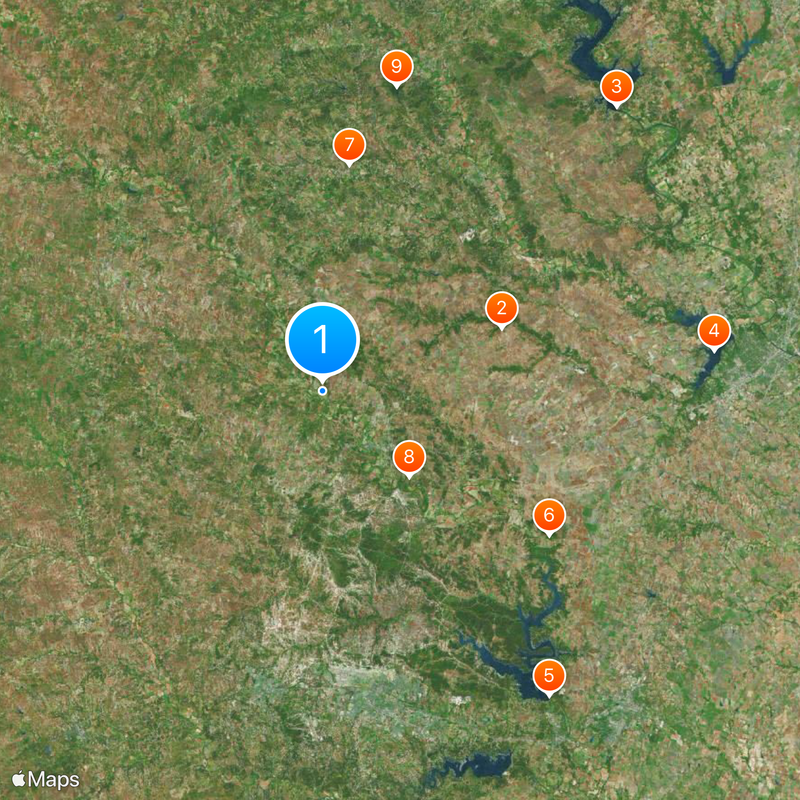
The district is expansive and requires longer drives between cities when visiting multiple locations within its boundaries. It helps to familiarize yourself with a map of its limits before traveling and to plan specific areas intentionally.
The district's elongated shape earned it the nickname 'Fajita Strip' in 2003 because of its resemblance to a thin rolled-up dish. This playful name points to its distinctive stretch from south to north through several very different regions.
The community of curious travelers
AroundUs brings together thousands of curated places, local tips, and hidden gems, enriched daily by 60,000 contributors worldwide.