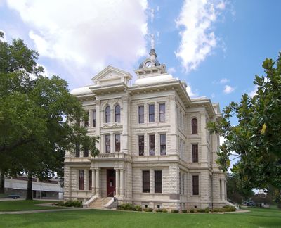
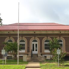
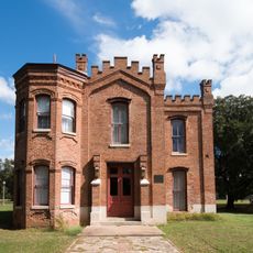
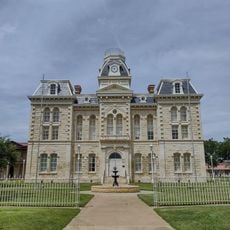
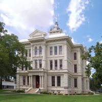
Milam County, County seat in Central Texas, United States.
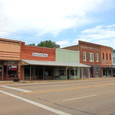
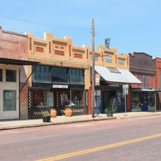
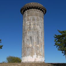
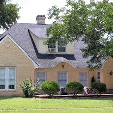
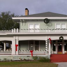
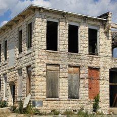
Milam County spans a region of mixed landscapes, transitioning from prairie grasslands to forested savannah zones. The territory includes several communities such as Cameron, Rockdale, and Milano, connected through rural roads and defined by river valleys.
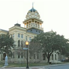
The county was established in 1837 and named after a key figure in the Texas Revolution. The region then developed as an agricultural area with growing settlements throughout the following century.
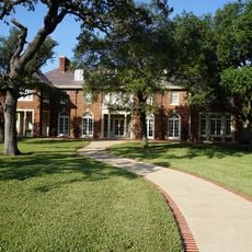
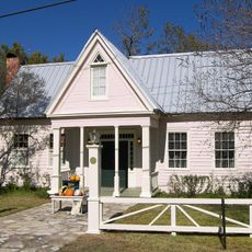
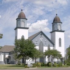
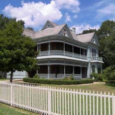
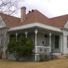
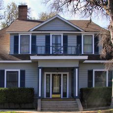
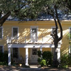
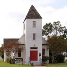
The name honors Benjamin Rush Milam, a central figure in Texas independence. Local communities maintain traditions tied to the region's diverse heritage, visible in how settlements use their shared spaces and gather for events.
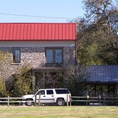
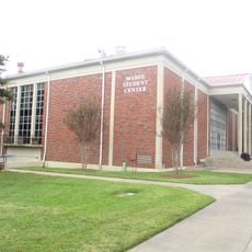
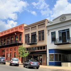
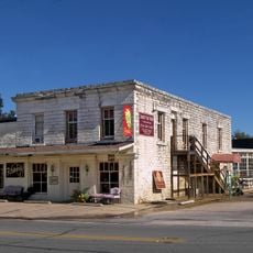
The region is served by six independent school districts that support different communities. Visitors should know that the area is rural, with most services concentrated in the main towns.
The territory is defined by three major river systems: the Brazos River forming its northeastern boundary, while the Little River and San Gabriel River run through the land. These waterways have long shaped settlement patterns and how people farm the region.
Location: Texas
Inception: 1837
Capital city: Cameron
Shares border with: Falls County, Robertson County, Burleson County, Lee County, Williamson County, Bell County
Website: http://co.milam.tx.us
GPS coordinates: 30.79000,-96.98000
Latest update: December 7, 2025 10:06
Calvert Historic District
36.3 km
Barton House
55.9 km
R. Q. Astin House
59 km
George Washington Baines House
55.5 km
Bell County Courthouse
54.8 km
The Church of the Visitation
39.2 km
Dr. Nathan and Lula Cass House
7.2 km
Franklin Carnegie Library
54.2 km
Bartlett Commercial Historic District
42.7 km
First Christian Church Parsonage
54.9 km
V. R. Means House
54.5 km
Hammond House
36.4 km
Thomas, Jr., and Mary Kraitchar House
39.8 km
Robertson County Courthouse
53.9 km
Kay Theatre
15 km
Howard Theatre
48 km
Arcadia Theater
48.5 km
Belton Standpipe
55 km
Potts, Arthur, House
54.7 km
Anderson House and Store
56 km
Baylor Female College Historic District
55.6 km
All Saints Episcopal Church
6.9 km
Burford, R. F. and Lena, House
55 km
Westphalia Rural Historic District
38.3 km
Temple Commercial Historic District
48.5 km
Belton Farmers Co-op Gin
54.8 km
Belton Yarn Mill
54.2 km
Barbee-Berry Mercantile Building
55.9 kmReviews
Visited this place? Tap the stars to rate it and share your experience / photos with the community! Try now! You can cancel it anytime.
Discover hidden gems everywhere you go!
From secret cafés to breathtaking viewpoints, skip the crowded tourist spots and find places that match your style. Our app makes it easy with voice search, smart filtering, route optimization, and insider tips from travelers worldwide. Download now for the complete mobile experience.
A unique approach to discovering new places❞
— Le Figaro
All the places worth exploring❞
— France Info
A tailor-made excursion in just a few clicks❞
— 20 Minutes