Antlers, city in Oklahoma, United States
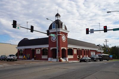
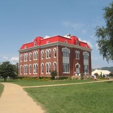
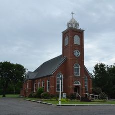
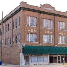
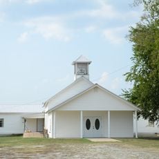
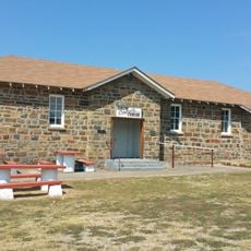
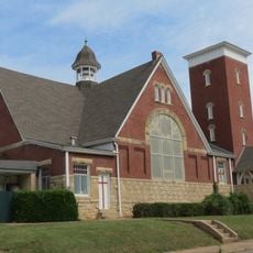
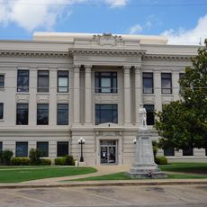
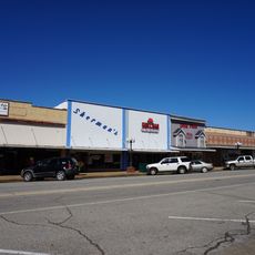
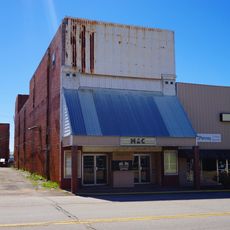
Antlers is a city in Pushmataha County, Oklahoma, and serves as the county seat. It sits in the valley of the Kiamichi River at the crossing of two main roads, where old brick buildings and a historic railroad depot from 1913 remain from earlier times.
The area was first home to the Mississippian culture and Caddo hunters before the Choctaw relocated here in the 1830s. The town grew after 1887 around a railroad station, with early settlers establishing farms, sawmills, and stores until a 1945 tornado caused major damage.
The town takes its name from deer antlers that hung on a tree near a spring, marking the place for travelers. It served as a gathering point for Choctaw communities and early settlers who built trades and roots here together.
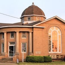
The city sits at the crossing of two main roads with easy access, gaining interstate highway connection in 1970. The Wildlife Heritage Center Museum in a log cabin displays local wildlife, while the historic 1913 depot building houses museum exhibits about the area's past.
The town holds the title of Deer Capital of the World, named after deer antlers that hung on a tree by a spring. A distinctive feature is the Wildlife Heritage Center, where visitors can feed and photograph whitetail deer living in nearby pens.
The community of curious travelers
AroundUs brings together thousands of curated places, local tips, and hidden gems, enriched daily by 60,000 contributors worldwide.