Enable Location

We need your location to show you interesting places around you

Discover nearby places

Find interesting locations and hidden gems around you

Precise directions

Get accurate directions and distances to places

Your location is never shared with other users. It's only used when you tap the location button.

Tangipahoa Parish

Log in to your account

Start exploring — it's free

Trusted by 61,818 travelers worldwide

Continue with Google
Continue with Apple
or

We will send you a code to connect

By continuing, you accept our Terms and Conditions and our Privacy Policy

Check your inbox

We've sent a pincode in your inbox. Please enter the code below.

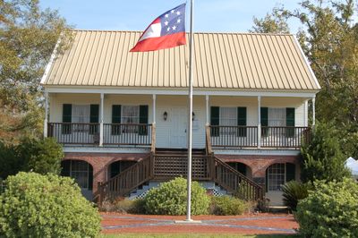
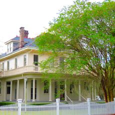
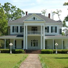
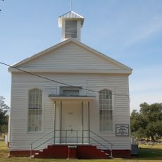
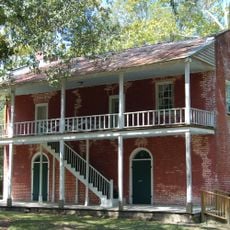
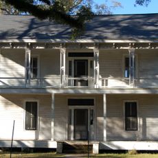
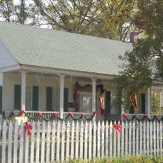
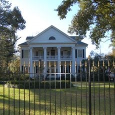
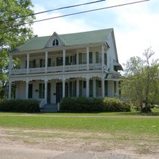
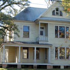
Tangipahoa Parish, Administrative division in southeastern Louisiana, United States

Description

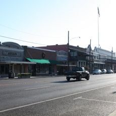
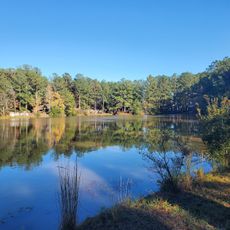
This parish in southeastern Louisiana covers approximately 323 square miles across its landscape. Hammond serves as the largest city within its borders, while Amite City functions as the administrative seat.

History

The parish was established in 1869 during the Reconstruction period following the Civil War. It was formed by combining land from four surrounding administrative areas.

Culture

Strawberry farming shapes local traditions throughout the area, with annual festivals celebrating the harvest bringing people together. Agriculture remains central to how communities here mark seasons and maintain cultural practices.

Practical

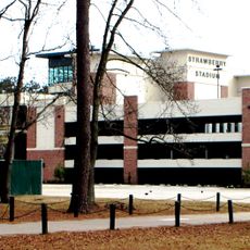
Local schools operate throughout the region to serve area residents, while a university in Hammond offers higher education programs. Most services and amenities are concentrated in the larger towns.

Did you know?

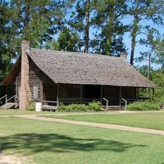
The name comes from the language of the Acolapissa, an indigenous people of the region, meaning corn ear or those who gather corn. This linguistic connection preserves memory of the original inhabitants and their relationship with the land.

Location
Inception
March 6, 1869
Capital city
Amite City
Elevation above the sea
35 m
Shares border with
Amite County, Pike County, St. Tammany Parish, Washington Parish, St. John the Baptist Parish, Livingston Parish, St. Helena Parish, Jefferson Parish, St. Charles Parish
GPS coordinates
30.62665,-90.40568
Latest update
December 19, 2025 23:45

AroundUs brings together thousands of curated places, local tips, and hidden gems, enriched daily by 60,000 contributors worldwide. Discover all places nearby (Louisiana).

Around this place
Manchac Swamp Bridge
United States of America

Manchac Swamp Bridge

36 km
Strawberry Stadium
United States of America

Strawberry Stadium

14.2 km
Camp Moore
United States of America

Camp Moore

30.4 km
Global Wildlife Center
United States of America

Global Wildlife Center

11.5 km
Pass Manchac Light
United States of America

Pass Manchac Light

38.1 km
Columbia Theatre for the Performing Arts
United States of America

Columbia Theatre for the Performing Arts

14.5 km
Ponchatoula Commercial Historic District
United States of America

Ponchatoula Commercial Historic District

21.2 km
United States of America

Joyce Wildlife Management Area

29 km
Dendinger House
United States of America

Dendinger House

33.7 km
Blythewood
United States of America

Blythewood

14.6 km
Arcola Presbyterian Church
United States of America

Arcola Presbyterian Church

19.8 km
Old Livingston Parish Courthouse
United States of America

Old Livingston Parish Courthouse

25.8 km
Randal House
United States of America

Randal House

13.8 km
United States of America

Oaks Hotel

13.6 km
United States of America

Loranger Methodist Church

1.5 km
Green Shutters
United States of America

Green Shutters

29.2 km
Louisiana Renaissance Festival
United States of America

Louisiana Renaissance Festival

11.2 km
McGehee House
United States of America

McGehee House

15.4 km
United States of America

Wascom House

13.8 km
Greenlawn
United States of America

Greenlawn

14.5 km
Cate House
United States of America

Cate House

14.8 km
Sylvest House
United States of America

Sylvest House

34.2 km
United States of America

Carter House

18.8 km
United States of America

Nichols House

21.7 km
Louisiana Children's Discovery Center
United States of America

Louisiana Children's Discovery Center

14.5 km
Kentwood Historical and Cultural Arts Museum
United States of America

Kentwood Historical and Cultural Arts Museum

36.1 km
Tchefuncte River Range Rear Light
United States of America

Tchefuncte River Range Rear Light

35.7 km
United States of America

Tchefuncte River Range Front Light

35.7 km
Show the full map
Administrative divisions
« Tangipahoa Parish - Administrative division in southeastern Louisiana, United States » is provided by Around Us (aroundus.com). Images and texts are derived from Wikimedia project under a Creative Commons license. You are allowed to copy, distribute, and modify copies of this page, under the conditions set by the license, as long as this note is clearly visible.

Discover hidden gems everywhere you go!

From secret cafés to breathtaking viewpoints, skip the crowded tourist spots and find places that match your style. Our app makes it easy with voice search, smart filtering, route optimization, and insider tips from travelers worldwide. Download now for the complete mobile experience.

Around Us App Screenshot

A unique approach to discovering new places

Le Figaro

All the places worth exploring

France Info

A tailor-made excursion in just a few clicks

20 Minutes

Around Us
Travel Guide & Maps
Download

Send to your phone

QR Code
1

Open the camera app on your mobile.

2

Point at the QR code with your camera. A notification will appear.

3

Tap the notification to open the link.