Enable Location

We need your location to show you interesting places around you

Discover nearby places

Find interesting locations and hidden gems around you

Precise directions

Get accurate directions and distances to places

Your location is never shared with other users. It's only used when you tap the location button.

Cleveland County

Log in to your account

Start exploring — it's free

Trusted by 62,796 travelers worldwide

Continue with Google
Continue with Apple
or

We will send you a code to connect

By continuing, you accept our Terms and Conditions and our Privacy Policy

Check your inbox

We've sent a pincode in your inbox. Please enter the code below.

Cleveland County, Administrative division in Arkansas, United States.

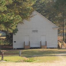
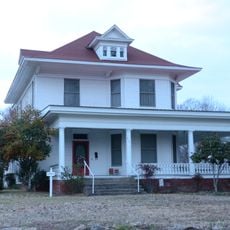
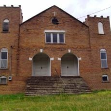
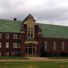
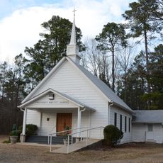
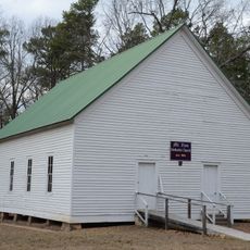
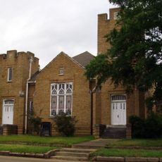
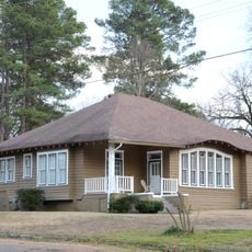
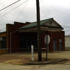
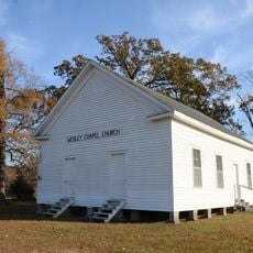
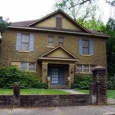
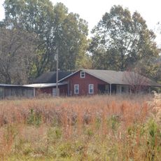
Cleveland County is an administrative division in south-central Arkansas comprising agricultural lands, timber forests, and several small communities organized around the county seat of Rison. The landscape features farming operations and woodland areas typical of rural Arkansas.

The county was established in December 1873 and named after Grover Cleveland, who would later serve two terms as US President. Its creation came during a period when Arkansas was expanding its administrative divisions.

Local communities celebrate farming heritage through seasonal gatherings and events that reflect how agriculture and timber work shape daily life in the area.

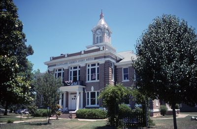
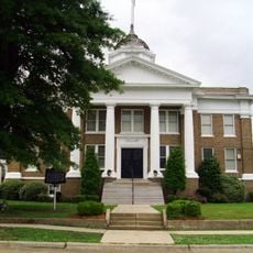
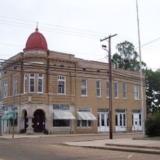
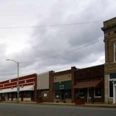
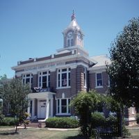
Visitors can access main county services in the town of Rison, where government offices handle registrations and public records. The rural setting means planning time to travel between communities in the area.

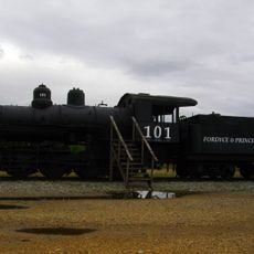
The region supplies lumber mills across Arkansas with timber from local forest operations that make up a significant portion of the state's wood product industry. This sector shapes the local economy and employment.

The community of curious travelers

AroundUs brings together thousands of curated places, local tips, and hidden gems, enriched daily by 60,000 contributors worldwide.

Start exploring
Location
Inception
April 17, 1873
Capital city
Rison
Shares border with
Grant County, Bradley County, Jefferson County, Lincoln County, Drew County, Calhoun County, Dallas County
GPS coordinates
33.89722,-92.17000
Latest update
December 7, 2025 10:06
Around this place
Cleveland County Courthouse
United States of America

Cleveland County Courthouse

7 km
Tennessee, Alabama & Georgia Railway 101
United States of America

Tennessee, Alabama & Georgia Railway 101

24.2 km
Marks’ Mills Battleground State Park
United States of America

Marks’ Mills Battleground State Park

15.1 km
St. Luke's Catholic Church
United States of America

St. Luke's Catholic Church

32.2 km
Mount Olivet Methodist Church
United States of America

Mount Olivet Methodist Church

6.6 km
Dallas County Courthouse
United States of America

Dallas County Courthouse

24.4 km
Jessie B. Smith House
United States of America

Jessie B. Smith House

23.8 km
Nutt-Trussell Building
United States of America

Nutt-Trussell Building

24.2 km
Waters House
United States of America

Waters House

24.5 km
New Zion AME Zion Church
United States of America

New Zion AME Zion Church

31.7 km
First United Methodist Church
United States of America

First United Methodist Church

24.2 km
Prosperity Baptist Church
United States of America

Prosperity Baptist Church

35.4 km
Mt. Zion Methodist Church
United States of America

Mt. Zion Methodist Church

32.5 km
First Presbyterian Church
United States of America

First Presbyterian Church

24.5 km
Charlotte Street Historic District
United States of America

Charlotte Street Historic District

23.8 km
Marathon Oil Service Station
United States of America

Marathon Oil Service Station

24.3 km
Fordyce Home Accident Insurance Company
United States of America

Fordyce Home Accident Insurance Company

24.3 km
Attwood-Hopson House
United States of America

Attwood-Hopson House

16.7 km
Davis-Adams House
United States of America

Davis-Adams House

32.5 km
Amis House
United States of America

Amis House

24.6 km
Wesley Chapel
United States of America

Wesley Chapel

16.8 km
Fordyce Commercial Historic District
United States of America

Fordyce Commercial Historic District

24.3 km
John Russell House
United States of America

John Russell House

23.7 km
Cleveland County Clerk's Building
United States of America

Cleveland County Clerk's Building

6.6 km
Wilson-Martin House
United States of America

Wilson-Martin House

32.3 km
Barnett-Attwood House
United States of America

Barnett-Attwood House

13.7 km
Wynne House
United States of America

Wynne House

24.7 km
Elliott House
United States of America

Elliott House

24.8 km
Show the full map
Administrative divisions
« Cleveland County - Administrative division in Arkansas, United States » is provided by Around Us (aroundus.com). Images and texts are derived from Wikimedia project under a Creative Commons license. You are allowed to copy, distribute, and modify copies of this page, under the conditions set by the license, as long as this note is clearly visible.

Discover hidden gems everywhere you go!

From secret cafés to breathtaking viewpoints, skip the crowded tourist spots and find places that match your style. Our app makes it easy with voice search, smart filtering, route optimization, and insider tips from travelers worldwide. Download now for the complete mobile experience.

Around Us App Screenshot

A unique approach to discovering new places

Le Figaro

All the places worth exploring

France Info

A tailor-made excursion in just a few clicks

20 Minutes

Around Us
Travel Guide & Maps
Download

Send to your phone

QR Code
1

Open the camera app on your mobile.

2

Point at the QR code with your camera. A notification will appear.

3

Tap the notification to open the link.