Enable Location

We need your location to show you interesting places around you

Discover nearby places

Find interesting locations and hidden gems around you

Precise directions

Get accurate directions and distances to places

Your location is never shared with other users. It's only used when you tap the location button.

Bladon Springs State Park

Log in to your account

Start exploring — it's free

Trusted by 65,363 travelers worldwide

Continue with Google
Continue with Apple
or

We will send you a code to connect

By continuing, you accept our Terms and Conditions and our Privacy Policy

Check your inbox

We've sent a pincode in your inbox. Please enter the code below.

Bladon Springs State Park
Discussion Reviews 1 Photos
3.3k Popularity

Bladon Springs State Park, Mineral springs park in Choctaw County, United States.

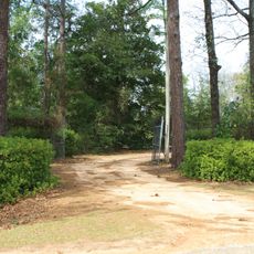
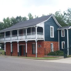
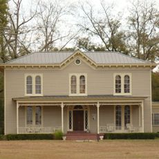
Bladon Springs State Park is a state park in western Alabama built around four natural mineral springs containing sulfur, iron, magnesium, and calcium. The grounds include campsites, walking paths, and direct access to the springs themselves.

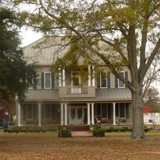
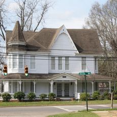
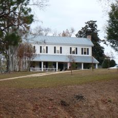
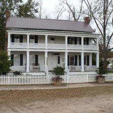
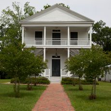
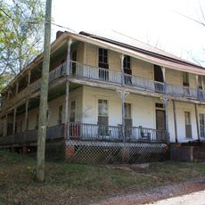
The site opened as a health resort in 1838 with a large Greek Revival hotel built to welcome visitors from across the region. A fire in 1938 destroyed the main hotel building, and the land was eventually converted into a public state park.

The springs have long drawn people from across the region who came looking for relief and rest. Today visitors still come to bathe in the mineral waters, giving the place a quiet sense of continuity with its past.

The park welcomes both day visitors and overnight campers, with hookup sites available for those who want to stay longer. Arriving during daylight makes it easier to find the springs and follow the walking paths through the grounds.

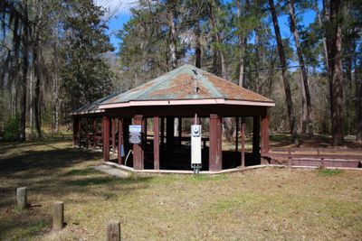
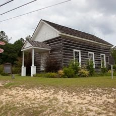
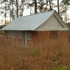
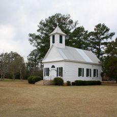
One original spa pavilion from the resort era still stands over the main spring, making it one of the few surviving structures from before the 1938 fire. Visitors can step inside and access the same water source that guests used when the place was a full resort.

The community of curious travelers

AroundUs brings together thousands of curated places, local tips, and hidden gems, enriched daily by 60,000 contributors worldwide.

Start exploring
Location
Elevation above the sea
40 m
GPS coordinates
31.73110,-88.19420
Latest update
March 3, 2026 13:56
Around this place
Fort Sinquefield
United States of America

Fort Sinquefield

46.9 km
Coffeeville Lock and Dam
United States of America

Coffeeville Lock and Dam

6.8 km
Mount Sterling Methodist Church
United States of America

Mount Sterling Methodist Church

40.2 km
Andrews Chapel
United States of America

Andrews Chapel

54.3 km
J. P. McKee Lustron House
United States of America

J. P. McKee Lustron House

37 km
Bush House
United States of America

Bush House

39.7 km
Airmount Grave Shelter
United States of America

Airmount Grave Shelter

56.3 km
Jackson Historic District
United States of America

Jackson Historic District

37.4 km
Isaac Nettles Gravestones
United States of America

Isaac Nettles Gravestones

52.8 km
Cobb House
United States of America

Cobb House

37.2 km
Alston-Cobb House
United States of America

Alston-Cobb House

39.6 km
St. Stephens Courthouse
United States of America

St. Stephens Courthouse

25 km
Whatley Historic District
United States of America

Whatley Historic District

47.2 km
Stephen Beech Cleveland House
United States of America

Stephen Beech Cleveland House

49.8 km
Grove Hill Courthouse Square Historic District
United States of America

Grove Hill Courthouse Square Historic District

39.5 km
Thomasville Historic District
United States of America

Thomasville Historic District

47.8 km
Dickinson House
United States of America

Dickinson House

40 km
Gainestown Methodist Church and Cemetery
United States of America

Gainestown Methodist Church and Cemetery

57.3 km
Gainestown Schoolhouse
United States of America

Gainestown Schoolhouse

56.8 km
Doit W. McClellan Lustron House
United States of America

Doit W. McClellan Lustron House

37 km
Jesse Pickens Pugh Farmstead
United States of America

Jesse Pickens Pugh Farmstead

34.7 km
John A. Coate House
United States of America

John A. Coate House

39.8 km
Trotter-Byrd House
United States of America

Trotter-Byrd House

60.3 km
Capt. C.C. Ferrill House
United States of America

Capt. C.C. Ferrill House

60.6 km
Benjamin H. Carter House
United States of America

Benjamin H. Carter House

60.6 km
Shubuta Bridge
United States of America

Shubuta Bridge

48.7 km
Jim Folsom Bridge
United States of America

Jim Folsom Bridge

9.1 km
Tombigbee River Bridge
United States of America

Tombigbee River Bridge

37.9 km
Show the full map
Reviews
Share your experience

No review yet

Discussions
Start a discussion...

No discussion yet

« Bladon Springs State Park - Mineral springs park in Choctaw County, United States » is provided by Around Us (aroundus.com). Images and texts are derived from Wikimedia project under a Creative Commons license. You are allowed to copy, distribute, and modify copies of this page, under the conditions set by the license, as long as this note is clearly visible.

Discover hidden gems everywhere you go!

From secret cafés to breathtaking viewpoints, skip the crowded tourist spots and find places that match your style. Our app makes it easy with voice search, smart filtering, route optimization, and insider tips from travelers worldwide. Download now for the complete mobile experience.

Around Us App Screenshot

A unique approach to discovering new places

Le Figaro

All the places worth exploring

France Info

A tailor-made excursion in just a few clicks

20 Minutes

Around Us
Travel Guide & Maps
Download

Send to your phone

QR Code
1

Open the camera app on your mobile.

2

Point at the QR code with your camera. A notification will appear.

3

Tap the notification to open the link.