
Choctaw County, County administrative division in southwestern Alabama, United States.
The county spans between the Tombigbee River and Mississippi border, containing extensive forest areas and mineral springs at Bladon Springs Park.
The territory, established on December 29, 1847, received its name from the Choctaw Native American tribe who inhabited the region.
The county holds numerous historical sites that document local events, including the Sims War and traditions surrounding the Singing Tree.
Forestry remains the primary economic sector, with extensive timber operations providing employment and resources throughout the administrative region.
The county marks the location of Alabama's first producing oil well in Gilbertown and houses the discovery site of Basilosaurus Cetoides, the state fossil.
Location: Alabama
Inception: December 29, 1847
Capital city: Butler
Elevation above the sea: 123 m
Shares border with: Sumter County, Clarke County, Marengo County, Washington County, Wayne County, Lauderdale County
Website: https://choctawcountyal.org
GPS coordinates: 32.02028,-88.26306
Latest update: May 27, 2025 13:02
Bladon Springs State Park
32.8 km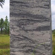
Fort Sinquefield
66.1 km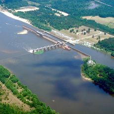
Coffeeville Lock and Dam
31.9 km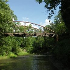
Half Chance Iron Bridge
62 km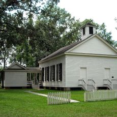
Mount Sterling Methodist Church
12.3 km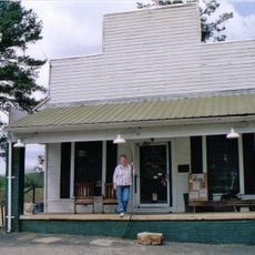
Causeyville Historic District
38.7 km
J. P. McKee Lustron House
66 km
Bush House
57.2 km
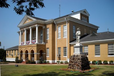
Old Marengo County Courthouse
54.3 km
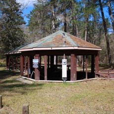
Airmount Grave Shelter
56.4 km
Cobb House
55.8 km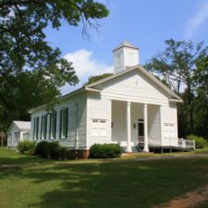
Jefferson Historic District
53.3 km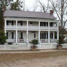
Alston-Cobb House
57.5 km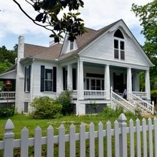
Dr. James Alvis Beavers House
47.5 km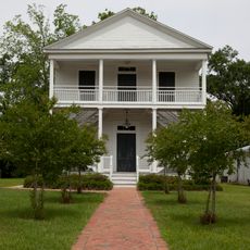
St. Stephens Courthouse
57 km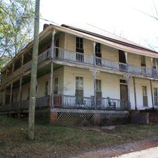
Whatley Historic District
67 km
Grove Hill Courthouse Square Historic District
57.5 km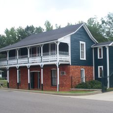
Thomasville Historic District
51.2 km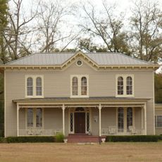
Dickinson House
57.8 km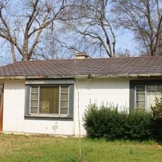
Doit W. McClellan Lustron House
66 km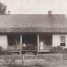
Jesse Pickens Pugh Farmstead
54.3 km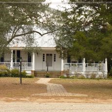
John A. Coate House
58 km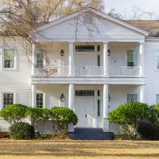
Trotter-Byrd House
43.6 km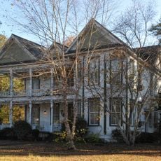
Capt. C.C. Ferrill House
43.7 km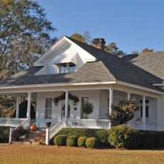
Benjamin H. Carter House
43.7 km
Bonita Lakes 9
53.8 km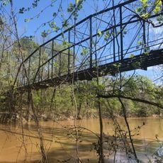
Shubuta Bridge
43.9 km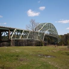
Jim Folsom Bridge
33.2 kmReviews
Visited this place? Tap the stars to rate it and share your experience / photos with the community! Try now! You can cancel it anytime.
Discover hidden gems everywhere you go!
From secret cafés to breathtaking viewpoints, skip the crowded tourist spots and find places that match your style. Our app makes it easy with voice search, smart filtering, route optimization, and insider tips from travelers worldwide. Download now for the complete mobile experience.

A unique approach to discovering new places❞
— Le Figaro
All the places worth exploring❞
— France Info
A tailor-made excursion in just a few clicks❞
— 20 Minutes