Enable Location

We need your location to show you interesting places around you

Discover nearby places

Find interesting locations and hidden gems around you

Precise directions

Get accurate directions and distances to places

Your location is never shared with other users. It's only used when you tap the location button.

Choctaw County

Log in to your account

Start exploring — it's free

Trusted by 61,875 travelers worldwide

Continue with Google
Continue with Apple
or

We will send you a code to connect

By continuing, you accept our Terms and Conditions and our Privacy Policy

Check your inbox

We've sent a pincode in your inbox. Please enter the code below.

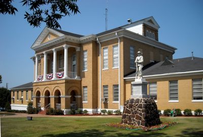
Choctaw County, County administrative division in southwestern Alabama, United States.

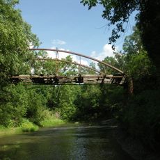
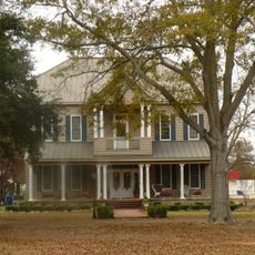
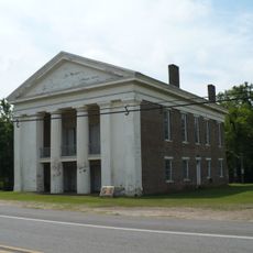
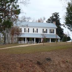
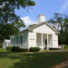
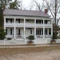
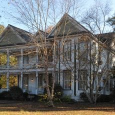
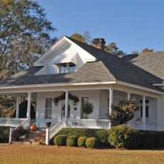
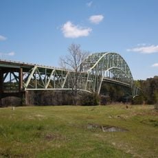
Choctaw County is an administrative division in southwestern Alabama situated between the Tombigbee River and the Mississippi border. The region features dense woodlands and Bladon Springs, a natural mineral spring area that draws visitors seeking its waters.

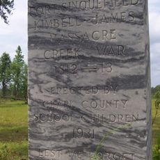
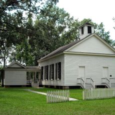
Established on December 29, 1847, the county received its name from the Choctaw Nation that inhabited the region before American settlement. This foundation shaped the character of the territory from its earliest days.

The area carries the name of the Choctaw Nation that once lived here. Walking through the county today, visitors encounter reminders of this ancestral presence in place names and local narratives.

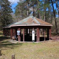
The county is best explored for outdoor experiences due to its extensive forested areas. Visitors should prepare for rural conditions and plan accordingly when exploring the region.

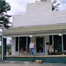
Gilbertown holds the distinction of being home to Alabama's first producing oil well, marking an important moment in the state's industrial history. The discovery of Basilosaurus Cetoides, the state fossil, at a site within the county further highlights the area's geological importance.

The community of curious travelers

AroundUs brings together thousands of curated places, local tips, and hidden gems, enriched daily by 60,000 contributors worldwide.

Start exploring
Location
Inception
December 29, 1847
Capital city
Butler
Elevation above the sea
123 m
Shares border with
Sumter County, Clarke County, Marengo County, Washington County, Wayne County, Lauderdale County
GPS coordinates
32.02028,-88.26306
Latest update
December 7, 2025 10:06
Around this place
Bladon Springs State Park
United States of America

Bladon Springs State Park

32.8 km
Fort Sinquefield
United States of America

Fort Sinquefield

66.1 km
Coffeeville Lock and Dam
United States of America

Coffeeville Lock and Dam

31.9 km
Half Chance Iron Bridge
United States of America

Half Chance Iron Bridge

62 km
Mount Sterling Methodist Church
United States of America

Mount Sterling Methodist Church

12.3 km
Causeyville Historic District
United States of America

Causeyville Historic District

38.7 km
J. P. McKee Lustron House
United States of America

J. P. McKee Lustron House

66 km
Bush House
United States of America

Bush House

57.2 km
Old Marengo County Courthouse
United States of America

Old Marengo County Courthouse

54.3 km
Airmount Grave Shelter
United States of America

Airmount Grave Shelter

56.4 km
Cobb House
United States of America

Cobb House

55.8 km
Jefferson Historic District
United States of America

Jefferson Historic District

53.3 km
Alston-Cobb House
United States of America

Alston-Cobb House

57.5 km
Dr. James Alvis Beavers House
United States of America

Dr. James Alvis Beavers House

47.5 km
St. Stephens Courthouse
United States of America

St. Stephens Courthouse

57 km
Whatley Historic District
United States of America

Whatley Historic District

67 km
Grove Hill Courthouse Square Historic District
United States of America

Grove Hill Courthouse Square Historic District

57.5 km
Thomasville Historic District
United States of America

Thomasville Historic District

51.2 km
Dickinson House
United States of America

Dickinson House

57.8 km
Doit W. McClellan Lustron House
United States of America

Doit W. McClellan Lustron House

66 km
Jesse Pickens Pugh Farmstead
United States of America

Jesse Pickens Pugh Farmstead

54.3 km
John A. Coate House
United States of America

John A. Coate House

58 km
Trotter-Byrd House
United States of America

Trotter-Byrd House

43.6 km
Capt. C.C. Ferrill House
United States of America

Capt. C.C. Ferrill House

43.7 km
Benjamin H. Carter House
United States of America

Benjamin H. Carter House

43.7 km
Bonita Lakes 9
United States of America

Bonita Lakes 9

53.8 km
Shubuta Bridge
United States of America

Shubuta Bridge

43.9 km
Jim Folsom Bridge
United States of America

Jim Folsom Bridge

33.2 km
Show the full map
« Choctaw County - County administrative division in southwestern Alabama, United States » is provided by Around Us (aroundus.com). Images and texts are derived from Wikimedia project under a Creative Commons license. You are allowed to copy, distribute, and modify copies of this page, under the conditions set by the license, as long as this note is clearly visible.

Discover hidden gems everywhere you go!

From secret cafés to breathtaking viewpoints, skip the crowded tourist spots and find places that match your style. Our app makes it easy with voice search, smart filtering, route optimization, and insider tips from travelers worldwide. Download now for the complete mobile experience.

Around Us App Screenshot

A unique approach to discovering new places

Le Figaro

All the places worth exploring

France Info

A tailor-made excursion in just a few clicks

20 Minutes

Around Us
Travel Guide & Maps
Download

Send to your phone

QR Code
1

Open the camera app on your mobile.

2

Point at the QR code with your camera. A notification will appear.

3

Tap the notification to open the link.