Enable Location

We need your location to show you interesting places around you

Discover nearby places

Find interesting locations and hidden gems around you

Precise directions

Get accurate directions and distances to places

Your location is never shared with other users. It's only used when you tap the location button.

Dellet Plantation

Log in to your account

Start exploring — it's free

Trusted by 62,499 travelers worldwide

Continue with Google
Continue with Apple
or

We will send you a code to connect

By continuing, you accept our Terms and Conditions and our Privacy Policy

Check your inbox

We've sent a pincode in your inbox. Please enter the code below.

Dellet Plantation, Historic plantation in Monroe County, Alabama.

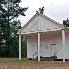
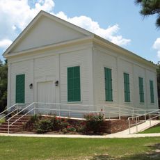
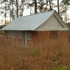
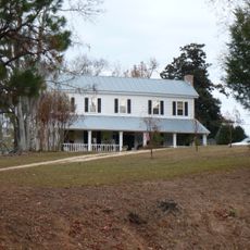
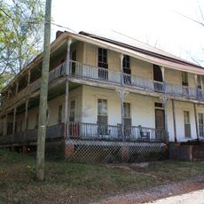
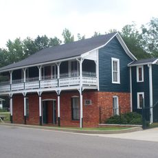
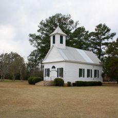
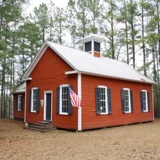
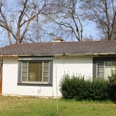
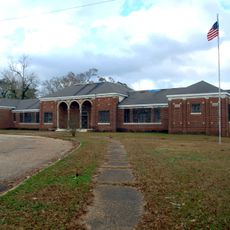
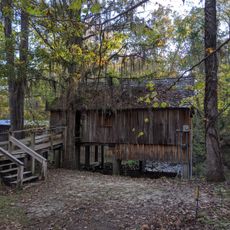
Dellet Plantation is a historic property in Alabama comprising 17 buildings, two structures, and one site displaying Federal architectural design. The complex includes residential houses, agricultural buildings, and other structures arranged across the land.

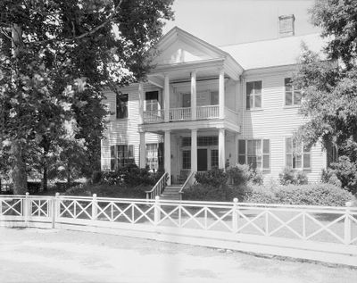
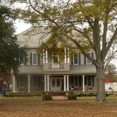
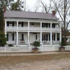
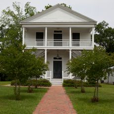
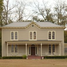
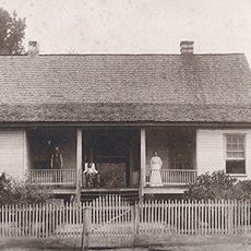
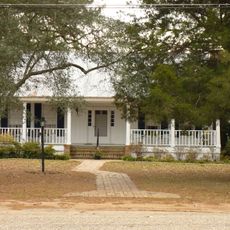
James Dellet, a U.S. Congressman and judge, founded this plantation in the late 1810s and had the main house built between 1835 and 1840. The property gained National Register recognition in 1994, cementing its place in regional historical records.

The buildings reflect how life on the property shifted after the Civil War, when enslaved labor gave way to tenant farming systems. The layout and structures show the daily realities of this economic transformation.

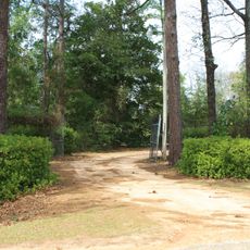
The property sits about three miles northwest of the former town of Claiborne and is reachable by local roads. Visitors should know the site is on private land and may require permission or a guided tour to explore.

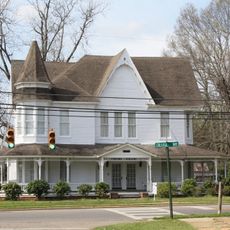
The main house features a two-tiered Doric portico that reflects architectural tastes of wealthy Southern landowners in the pre-Civil War era. This striking design element showcases the prosperity and influence of the original founder.

The community of curious travelers

AroundUs brings together thousands of curated places, local tips, and hidden gems, enriched daily by 60,000 contributors worldwide.

Start exploring
Location
GPS coordinates
31.53861,-87.50750
Latest update
December 14, 2025 11:00
Around this place
Fort Sinquefield
United States of America

Fort Sinquefield

23.3 km
Old Monroe County Courthouse
United States of America

Old Monroe County Courthouse

17.4 km
New Hope Baptist Church
United States of America

New Hope Baptist Church

31.5 km
J. P. McKee Lustron House
United States of America

J. P. McKee Lustron House

36.9 km
Bush House
United States of America

Bush House

32.2 km
Montgomery Hill Baptist Church
United States of America

Montgomery Hill Baptist Church

49.5 km
Airmount Grave Shelter
United States of America

Airmount Grave Shelter

50.3 km
Jackson Historic District
United States of America

Jackson Historic District

36.9 km
Isaac Nettles Gravestones
United States of America

Isaac Nettles Gravestones

40.4 km
Cobb House
United States of America

Cobb House

33.7 km
Alston-Cobb House
United States of America

Alston-Cobb House

31.9 km
St. Stephens Courthouse
United States of America

St. Stephens Courthouse

51.9 km
Whatley Historic District
United States of America

Whatley Historic District

22.4 km
Stephen Beech Cleveland House
United States of America

Stephen Beech Cleveland House

18.9 km
Grove Hill Courthouse Square Historic District
United States of America

Grove Hill Courthouse Square Historic District

31.8 km
Thomasville Historic District
United States of America

Thomasville Historic District

47 km
Dickinson House
United States of America

Dickinson House

31.5 km
Gainestown Methodist Church and Cemetery
United States of America

Gainestown Methodist Church and Cemetery

20.8 km
Monroeville Downtown Historic District
United States of America

Monroeville Downtown Historic District

17.4 km
Gainestown Schoolhouse
United States of America

Gainestown Schoolhouse

20 km
Doit W. McClellan Lustron House
United States of America

Doit W. McClellan Lustron House

36.9 km
Jesse Pickens Pugh Farmstead
United States of America

Jesse Pickens Pugh Farmstead

35.5 km
New Evergreen Commercial Historic District
United States of America

New Evergreen Commercial Historic District

53.7 km
John A. Coate House
United States of America

John A. Coate House

31.4 km
Evergreen School
United States of America

Evergreen School

54.1 km
Old Courthouse Museum
United States of America

Old Courthouse Museum

17.4 km
Rikard's Mill Historical Park
United States of America

Rikard's Mill Historical Park

38.2 km
Tombigbee River Bridge
United States of America

Tombigbee River Bridge

38.3 km
Show the full map
« Dellet Plantation - Historic plantation in Monroe County, Alabama » is provided by Around Us (aroundus.com). Images and texts are derived from Wikimedia project under a Creative Commons license. You are allowed to copy, distribute, and modify copies of this page, under the conditions set by the license, as long as this note is clearly visible.

Discover hidden gems everywhere you go!

From secret cafés to breathtaking viewpoints, skip the crowded tourist spots and find places that match your style. Our app makes it easy with voice search, smart filtering, route optimization, and insider tips from travelers worldwide. Download now for the complete mobile experience.

Around Us App Screenshot

A unique approach to discovering new places

Le Figaro

All the places worth exploring

France Info

A tailor-made excursion in just a few clicks

20 Minutes

Around Us
Travel Guide & Maps
Download

Send to your phone

QR Code
1

Open the camera app on your mobile.

2

Point at the QR code with your camera. A notification will appear.

3

Tap the notification to open the link.