Saint James Parish, Administrative division in northwestern Jamaica
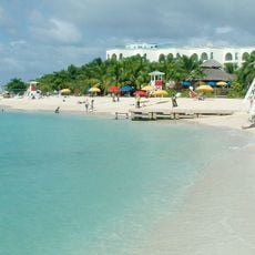
Saint James Parish is an administrative division in northwestern Jamaica covering approximately 595 square kilometers of land. The area is defined by the Nassau Mountains and shares borders with Trelawny, St. Elizabeth, Hanover, and Westmoreland parishes.
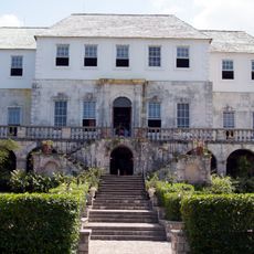
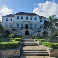
Sir Thomas Modyford established Saint James Parish in 1665 and named it after the Duke of York, who would later reign as King James II of England. This founding was part of the early British colonial administration of the island.
The parish takes its name from the Duke of York, who later became King James II, reflecting its ties to British rule and colonial heritage. Local communities maintain a strong connection to their past through oral traditions and the places where historical events unfolded.
The area uses a structured postal code system for efficient mail distribution across different neighborhoods and locations. Visitors should be aware that geographical boundaries matter for local services and administrative purposes.
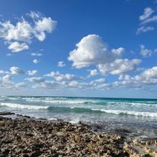
The area sits on a limestone formation from the Gulf of Mexico that covers two-thirds of the land, creating a distinctive geological foundation. This underground structure shapes the region's topography and water systems in subtle but important ways.
The community of curious travelers
AroundUs brings together thousands of curated places, local tips, and hidden gems, enriched daily by 60,000 contributors worldwide.