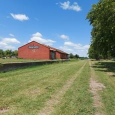
Ranchos, Buenos Aires, human settlement in Argentina
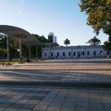
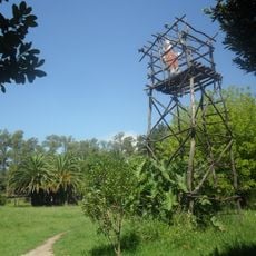
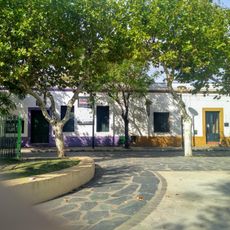
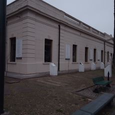
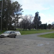
Ranchos is a small town in the General Paz district of Buenos Aires province, Argentina, with old houses and narrow streets laid out in a traditional grid. Nearby sits the Laguna de Ranchos, a lake with three small islands set in the open flatlands surrounding the town.
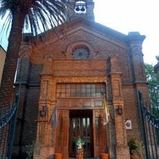
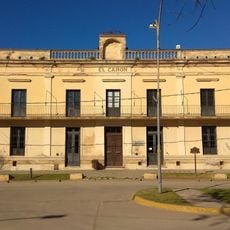
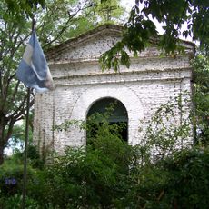
The settlement was established in 1781 when Spanish colonists built a fort called Nuestra Señora del Pilar to protect against raids from indigenous groups. Through the 19th century the town grew steadily, and by 1821 it had its first justice of the peace, marking its role as a local center.
The name Ranchos comes from the ranches that once shaped this area, and that connection to rural life is still visible today. Horses are common on the roads leading out of town, and many families still work the land much as they did generations ago.
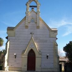
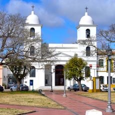
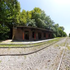
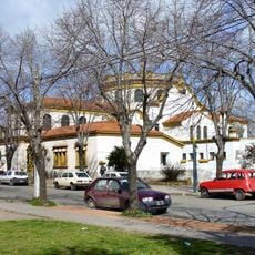
Ranchos is reached by car or bus from Buenos Aires along rural roads, and the drive takes you through open pampas countryside. The town center is compact and easy to walk, with the church and the old train station within a short distance of each other.
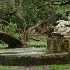
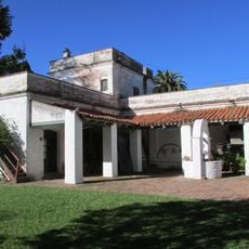
The Estancia de Negrete, founded in 1779 just outside town, hosted what is recorded as Argentina's first polo match in 1875. The estate sits in the open countryside around Ranchos, quietly holding a place in the country's sporting past that few visitors know about.
The community of curious travelers
AroundUs brings together thousands of curated places, local tips, and hidden gems, enriched daily by 60,000 contributors worldwide.