Enable Location

We need your location to show you interesting places around you

Discover nearby places

Find interesting locations and hidden gems around you

Precise directions

Get accurate directions and distances to places

Your location is never shared with other users. It's only used when you tap the location button.

São Gabriel

Log in to your account

Start exploring — it's free

Trusted by 62,033 travelers worldwide

Continue with Google
Continue with Apple
or

We will send you a code to connect

By continuing, you accept our Terms and Conditions and our Privacy Policy

Check your inbox

We've sent a pincode in your inbox. Please enter the code below.

São Gabriel, Administrative division in Rio Grande do Sul, Brazil

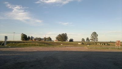
São Gabriel is a municipality in Rio Grande do Sul covering a large rural area in southern Brazil. The landscape consists of open fields, scattered settlements, and natural terrain that define the character of the region.

The municipality began in the mid-1700s as a military post during territorial disputes between Spanish and Portuguese colonial powers. This strategic location shaped its early development as a frontier region.

Local residents keep Gaúcho traditions alive through regional music, traditional dances, and community celebrations held throughout the year. These customs shape daily life and connect people to the region's heritage.

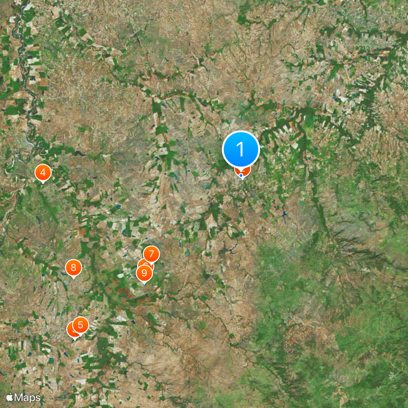
The area is best explored by car or on foot depending on where you want to go. Most facilities and services are concentrated in the main settlements, so it helps to plan your route in advance.

The region has a strong tradition of horse and cattle ranching that continues to shape economic activity today. This rural practice remains vital to many families' livelihoods.

The community of curious travelers

AroundUs brings together thousands of curated places, local tips, and hidden gems, enriched daily by 60,000 contributors worldwide.

Start exploring
Inception
April 4, 1800
Elevation above the sea
121 m
Shares border with
Rosário do Sul, Vila Nova do Sul, Santa Maria, Cacequi, Dilermando de Aguiar, Dom Pedrito, Lavras do Sul, Santa Margarida do Sul, São Sepé
GPS coordinates
-30.33583,-54.32000
Latest update
December 19, 2025 23:46
« São Gabriel - Administrative division in Rio Grande do Sul, Brazil » is provided by Around Us (aroundus.com). Images and texts are derived from Wikimedia project under a Creative Commons license. You are allowed to copy, distribute, and modify copies of this page, under the conditions set by the license, as long as this note is clearly visible.

Discover hidden gems everywhere you go!

From secret cafés to breathtaking viewpoints, skip the crowded tourist spots and find places that match your style. Our app makes it easy with voice search, smart filtering, route optimization, and insider tips from travelers worldwide. Download now for the complete mobile experience.

Around Us App Screenshot

A unique approach to discovering new places

Le Figaro

All the places worth exploring

France Info

A tailor-made excursion in just a few clicks

20 Minutes

Around Us
Travel Guide & Maps
Download

Send to your phone

QR Code
1

Open the camera app on your mobile.

2

Point at the QR code with your camera. A notification will appear.

3

Tap the notification to open the link.