Enable Location

We need your location to show you interesting places around you

Discover nearby places

Find interesting locations and hidden gems around you

Precise directions

Get accurate directions and distances to places

Your location is never shared with other users. It's only used when you tap the location button.

Rio dos Cedros

Log in to your account

Join the adventure

Create your free account and start exploring

Save your favorite places
Create custom travel routes
Rate and review places
Access the full interactive map
Continue with Google
Continue with Apple
Continue with email
By continuing, you accept our Terms and Conditions and our Privacy Policy

We will send you a code to connect

We've sent a pincode in your inbox. Please enter the code below.

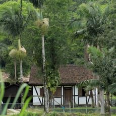
Rio dos Cedros, Municipality at 720 meters elevation in Santa Catarina, Brazil.

Description

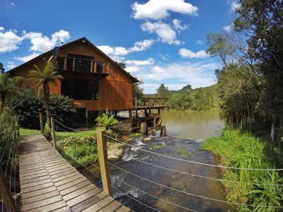
Rio dos Cedros is a municipality in Santa Catarina featuring agricultural areas, residential neighborhoods, and natural landscape spread across hilly terrain. The town sits at approximately 720 meters elevation and contains several distinct districts alongside farming zones.

History

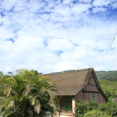
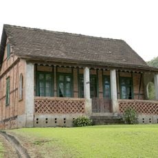
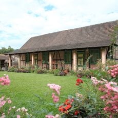
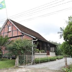
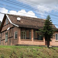
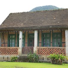
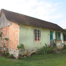
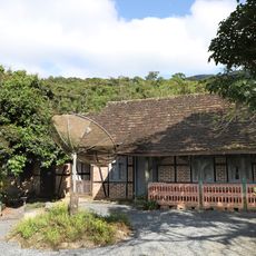
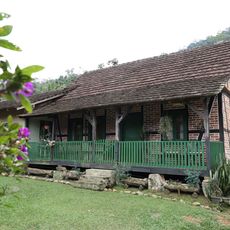
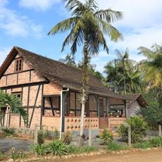
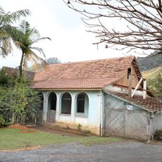
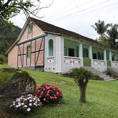
European settlers established this community in the late 1800s, building agricultural foundations in the region. Official recognition as a municipality came in 1962.

Culture

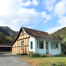
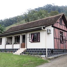
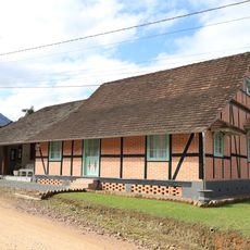
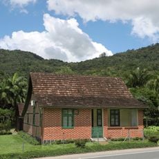
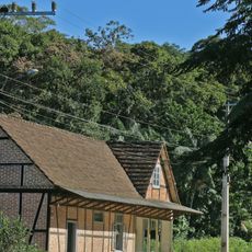
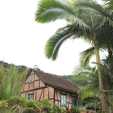
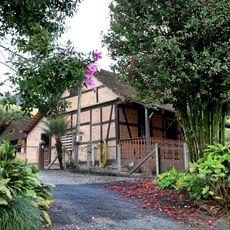
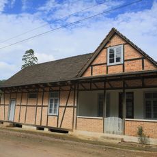
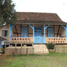
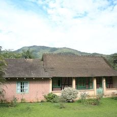
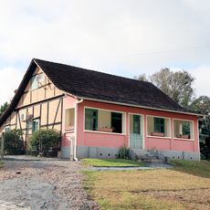
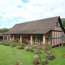
European influences appear in the local buildings and community gatherings that visitors encounter while walking through the town. These traditions shape how people live and how the place looks today.

Practical

Visitors can find main local services at offices located along the principal streets during business hours. The town is straightforward to explore on foot with a manageable center.

Did you know?

The place takes its name from cedar trees that once covered the forest landscape around the settlement. Early residents chose this name to reflect the natural environment that surrounded them.

i
Location
i
Elevation above the sea
720 m
i
Shares border with
Benedito Novo, Corupá, Doutor Pedrinho, Jaraguá do Sul, Pomerode, Rio Negrinho, Timbó
i
GPS coordinates
-26.73778,-49.27389
i
Latest update
December 8, 2025 13:44

AroundUs brings together thousands of curated places, local tips, and hidden gems, enriched daily by 60,000 contributors worldwide. Discover all places nearby (Santa Catarina).

Reviews

Visited this place? Tap the stars to rate it and share your experience / photos with the community! Try now! You can cancel it anytime.

« Rio dos Cedros - Municipality at 720 meters elevation in Santa Catarina, Brazil » is provided by Around Us (aroundus.com). Images and texts are derived from Wikimedia project under a Creative Commons license. You are allowed to copy, distribute, and modify copies of this page, under the conditions set by the license, as long as this note is clearly visible.

Discover hidden gems everywhere you go!

From secret cafés to breathtaking viewpoints, skip the crowded tourist spots and find places that match your style. Our app makes it easy with voice search, smart filtering, route optimization, and insider tips from travelers worldwide. Download now for the complete mobile experience.

Around Us App Screenshot

A unique approach to discovering new places

Le Figaro

All the places worth exploring

France Info

A tailor-made excursion in just a few clicks

20 Minutes