Chest opened
+${chestReward.xp} XP
Explorer
NOUVEAU ×${chestReward.collectible.quantity}
tapez pour fermer
Chest locked

Open chests in the app

Around Us is built for your phone — chests unlock when you walk, explore and capture nearby places.

Enable Location

We need your location to show you interesting places around you

Discover nearby places

Find interesting locations and hidden gems around you

Precise directions

Get accurate directions and distances to places

Your location is never shared with other users. It's only used when you tap the location button.

Araçatuba

Log in to your account

Start exploring — it's free

Trusted by 72,887 travelers worldwide

Continue with Google
Continue with Apple
or

We will send you a code to connect

By continuing, you accept our Terms and Conditions and our Privacy Policy

Check your inbox

We've sent a pincode in your inbox. Please enter the code below.

Discussion Reviews 2 Photos
81.7k Popularity

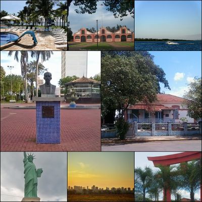
Araçatuba, Agricultural center in São Paulo state, Brazil

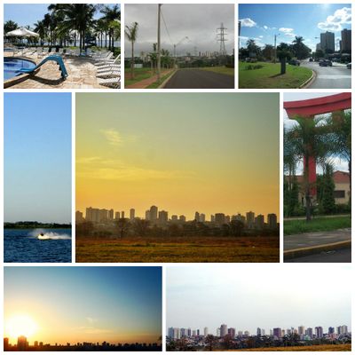
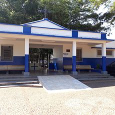
Araçatuba is a farming city in western São Paulo with wide croplands and urban blocks. The layout follows a grid of broad streets, lined with residential blocks and low commercial buildings near the banks of the Tietê.

The settlement appeared in 1908 with the railway construction and quickly grew as a supply point for travelers and farmers. In 1921, it gained municipal status and separated from Penápolis.

The name comes from the Tupi language and refers to the araçá fruit trees that once grew here in large numbers. Today, residents move through modern neighborhoods, farming areas, and commercial districts that shape daily life.

Highways run from São Paulo and neighboring regions, while an airstrip inside the city allows small aircraft to land. Walking or driving through the city works well because streets follow a clear grid.

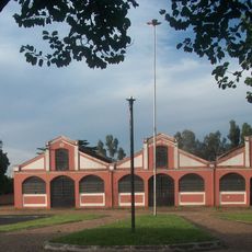
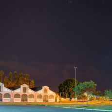
Several hydroelectric plants along the Tietê supply electric power that feeds farms and manufacturing sites. Cotton processing, furniture making, and ceramic production form major economic pillars alongside farming.

The community of curious travelers

AroundUs brings together thousands of curated places, local tips, and hidden gems, enriched daily by 60,000 contributors worldwide.

Start exploring
Location
Inception
1908
Elevation above the sea
384 m
Shares border with
Gabriel Monteiro, Guararapes, Birigui, Valparaíso, Santo Antônio do Aracanguá, Pereira Barreto, Bilac, Mirandópolis, Lavínia, Buritama
GPS coordinates
-21.20889,-50.43278
Latest update
December 13, 2025 16:29
Reviews
Share your experience

No review yet

Discussions
Start a discussion...

No discussion yet

« Araçatuba - Agricultural center in São Paulo state, Brazil » is provided by Around Us (aroundus.com). Images and texts are derived from Wikimedia project under a Creative Commons license. You are allowed to copy, distribute, and modify copies of this page, under the conditions set by the license, as long as this note is clearly visible.

Discover hidden gems everywhere you go!

From secret cafés to breathtaking viewpoints, skip the crowded tourist spots and find places that match your style. Our app makes it easy with voice search, smart filtering, route optimization, and insider tips from travelers worldwide. Download now for the complete mobile experience.

Around Us App Screenshot

A unique approach to discovering new places

Le Figaro

All the places worth exploring

France Info

A tailor-made excursion in just a few clicks

20 Minutes

Around Us
Travel Guide & Maps
Download

Send to your phone

QR Code
1

Open the camera app on your mobile.

2

Point at the QR code with your camera. A notification will appear.

3

Tap the notification to open the link.