
Williams, town in the wheatbelt region of Western Australia
Location: Shire Of Williams
GPS coordinates: -33.03096,116.88011
Latest update: April 21, 2025 00:04
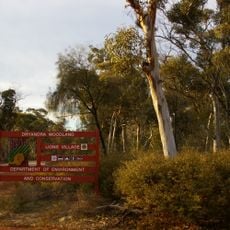
Dryandra Woodland National Park
28.8 km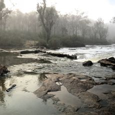
Lane Poole Reserve
51.9 km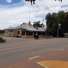
Boddington Hotel
45.7 km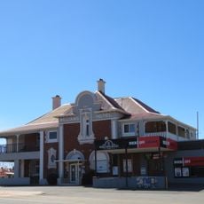
Williams Hotel
266 m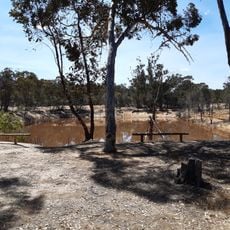
Congelin Railway Dam
23.9 km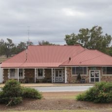
Darkan Hotel
36.2 km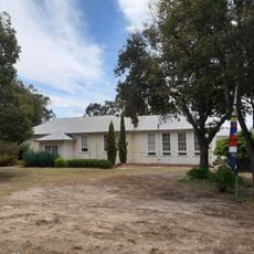
Boddington Old School
45.7 km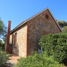
Williams Agricultural Hall
620 m
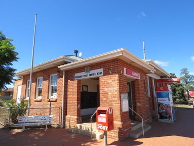
Williams Post Office
484 m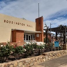
Boddington Town Hall
45.7 km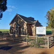
St Boniface Anglican Church, Quindanning
29.1 km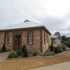
Darkan Pioneer Hall
36.5 km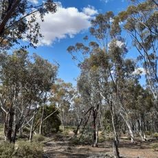
Dryandra Inland Arboretum
28.9 km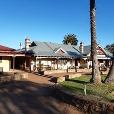
Quindanning Hotel
29.1 km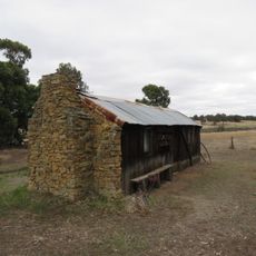
Six Mile Cottage, Darkan
34.1 km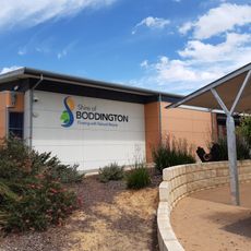
Boddington shire offices
45.6 km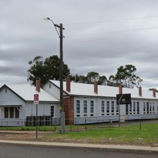
Darkan District High School
36.6 km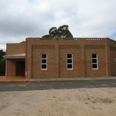
St. Mary's Church, Darkan
36.6 km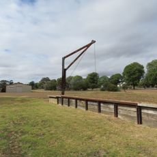
Railway Crane and Loading Ramp, Darkan
36.3 km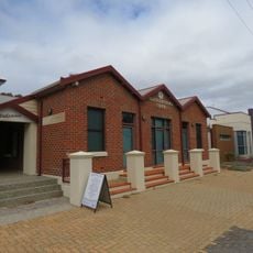
Shire of West Arthur Health and Resource Centre
36.4 km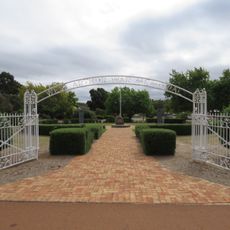
West Arthur War Memorial
36.3 km
Boddington War Memorial
45.7 km
Asquith Bridge
56.6 km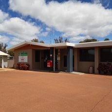
Wandering shire offices
43.4 km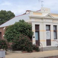
Darkan Road Board Office
36.4 km
Darkan Station Master's House
36.2 km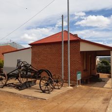
Marradong Road Board Office (former)
45.8 km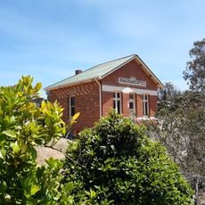
Wandering Road Board Office
43.2 kmReviews
Visited this place? Tap the stars to rate it and share your experience / photos with the community! Try now! You can cancel it anytime.
Discover hidden gems everywhere you go!
From secret cafés to breathtaking viewpoints, skip the crowded tourist spots and find places that match your style. Our app makes it easy with voice search, smart filtering, route optimization, and insider tips from travelers worldwide. Download now for the complete mobile experience.

A unique approach to discovering new places❞
— Le Figaro
All the places worth exploring❞
— France Info
A tailor-made excursion in just a few clicks❞
— 20 Minutes