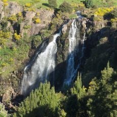
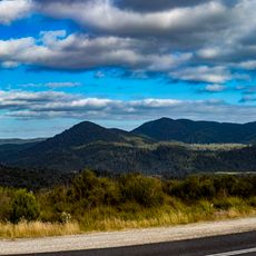
Mount Bell, Summit in Tasmania, Australia
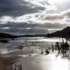
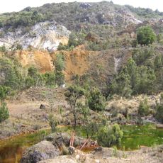
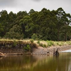
Mount Bell is a summit in Tasmania's Central Highlands, located south of the small town of Wilmot and accessed via the C132 road. From the top, views open toward Lake Cethana to the south, Mount Roland to the east, the Dial Range to the west, and the northern Tasmanian coastline beyond.
The land around Mount Bell was used by Tasmania's First Nations people for hunting and gathering long before European arrival. Early explorers later named the summit, and the area has remained largely undeveloped since.
The name "Bell" is said to come from early explorers who thought the shape of the summit resembled a bell. Visitors who reach the top today can easily see why that comparison stayed.
The climb takes about 45 minutes up and around 20 minutes back down, with the descent being particularly slippery, so sturdy footwear with good grip is strongly recommended. A small car park sits at the trailhead, and checking the weather before setting out is a good idea as conditions in Tasmania can shift quickly.
Although Mount Bell is not a tall peak, its summit offers a panorama in four directions at once: lakes to the south, coastline to the north, mountains to the east, and farmland to the west. Few points in the region give such a wide view after such a short walk.
The community of curious travelers
AroundUs brings together thousands of curated places, local tips, and hidden gems, enriched daily by 91,376 contributors worldwide.