Shire of Central Goldfields
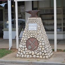
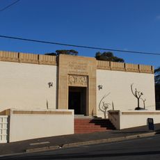
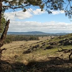
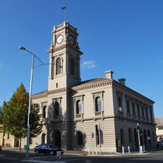
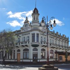
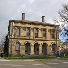
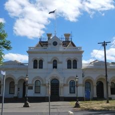
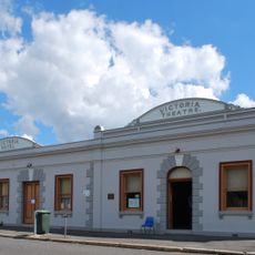
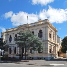
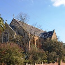
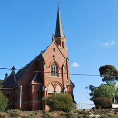
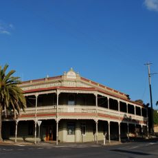
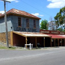
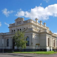
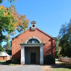
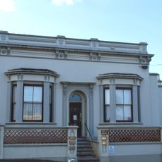
Shire of Central Goldfields, local government area in Victoria, Australia
Location: Victoria
Capital city: Maryborough
Elevation above the sea: 211 m
Shares border with: Shire of Loddon, Shire of Mount Alexander, Shire of Hepburn, Shire of Pyrenees, Shire of Northern Grampians
Website: http://centralgoldfields.com.au
GPS coordinates: -37.05000,143.73333
Latest update: March 13, 2025 15:51
Welcome Stranger
32.9 km
Castlemaine Art Museum
42.7 km
Kooyoora State Park
50.1 km
Kara Kara National Park
45.1 km
Castlemaine Post Office
42.7 km
Bull and Mouth Hotel
519 m
Castlemaine Art Museum
42.9 km
Clunes Post Office
27.6 km
Clunes Town Hall and Court House
27.6 km
Tarnagulla Public Hall
32.4 km
Royal Hotel
30.4 km
Maryborough Town Hall
546 m
Christ Church
42.8 km
Castlemaine Uniting Church
42.8 km
Midland Private Hotel
42.8 km
Tarnagulla Public Park Reserve and Cricket Pavilion
31.7 km
Brooks Store
30.5 km
Maryborough Court House
470 m
Market Hall and Royal Oaks
30.3 km
11 Mostyn Street, Castlemaine
42.9 km
Welcome Stranger Gold Mining Precinct
32.9 km
Dunolly Court House
21.4 km
Club Hotel
27.5 km
ES&A Bank building, Clunes
27.5 km
Dunolly Town Hall
21.1 km
Bendigo Hotel
21.2 km
Former Common School No. 1124
35.6 km
Beehive Company Gold Mine
30.7 kmReviews
Visited this place? Tap the stars to rate it and share your experience / photos with the community! Try now! You can cancel it anytime.
Discover hidden gems everywhere you go!
From secret cafés to breathtaking viewpoints, skip the crowded tourist spots and find places that match your style. Our app makes it easy with voice search, smart filtering, route optimization, and insider tips from travelers worldwide. Download now for the complete mobile experience.
A unique approach to discovering new places❞
— Le Figaro
All the places worth exploring❞
— France Info
A tailor-made excursion in just a few clicks❞
— 20 Minutes