
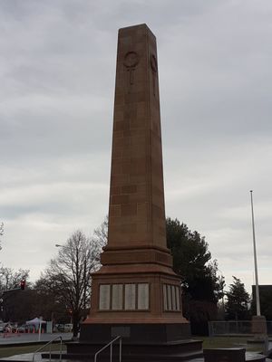
Ashburton War Memorial, New Zealand war memorial
Location: Ashburton District
Inception: June 4, 1928
GPS coordinates: -43.90262,171.74846
Latest update: May 15, 2025 00:49
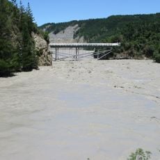
Rakaia Gorge
43.5 km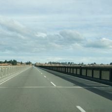
Rakaia Bridge
29.2 km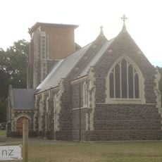
St John's Church
45.5 km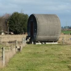
Pipe Shed
30.7 km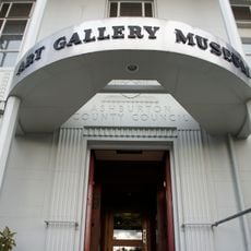
Ashburton Art Gallery
119 m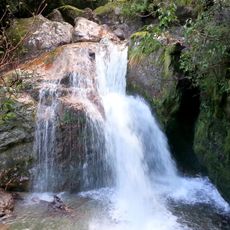
Sharplin Falls
41.2 km
Big Tree
39.5 km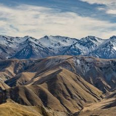
Winterslow Range
46.1 km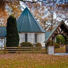
St John's Church
26.9 km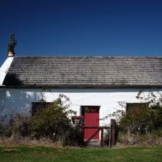
Cotons' Cottage
43.5 km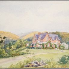
Holnicote
40.8 km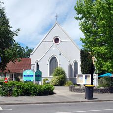
St Mary's Church
45.5 km
St Mary's Church Vicarage
45.5 km
Ross Cottage
38 km
St Andrew's Presbyterian Church
184 m
Methven War Memorial
30.7 km
Church of the Holy Name
294 m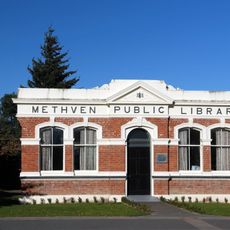
Methven Public Library
30.8 km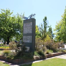
Methven centennial memorial
31.1 km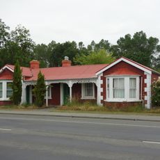
137 Talbot Street, Geraldine
45.9 km
Post Office
45.5 km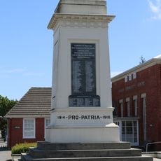
Rakaia war memorial
27.4 km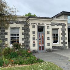
Town Board Office
45.6 km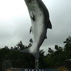
Big Salmon
27.6 km
Presbytery
358 m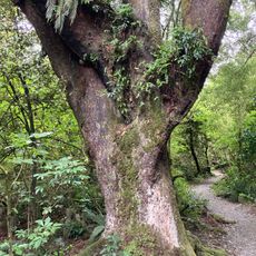
Dennistoun Bush Walk
40.8 km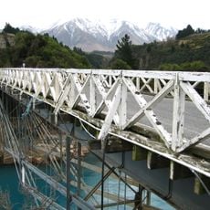
Old Rakaia Gorge Bridge
43.5 km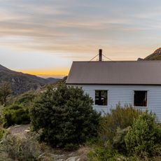
Pinnacles Hut
43.9 kmVisited this place? Tap the stars to rate it and share your experience / photos with the community! Try now! You can cancel it anytime.
Discover hidden gems everywhere you go!
From secret cafés to breathtaking viewpoints, skip the crowded tourist spots and find places that match your style. Our app makes it easy with voice search, smart filtering, route optimization, and insider tips from travelers worldwide. Download now for the complete mobile experience.

A unique approach to discovering new places❞
— Le Figaro
All the places worth exploring❞
— France Info
A tailor-made excursion in just a few clicks❞
— 20 Minutes