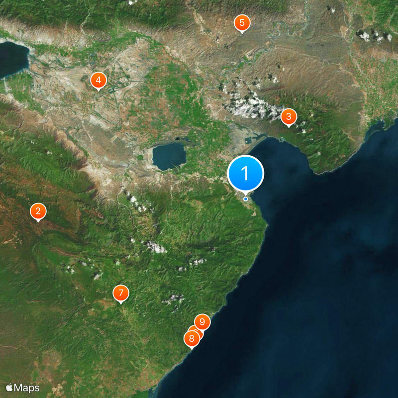
Barahona Province, Coastal province in southwestern Dominican Republic
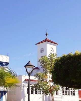
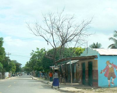
Barahona Province is a region in southwestern Dominican Republic that stretches from the Caribbean coast inland through 11 municipalities, with Santa Cruz de Barahona as its administrative center. The landscape transitions from seacoast through diverse terrain and includes areas suitable for both agriculture and outdoor exploration.
The province took its name from Spanish settlers, including Francisco and Gabriel Barahona, who arrived during Columbus's expeditions in the 1490s. This early settlement shaped the region's development over the following centuries.
Sugar production remains woven into daily life across the region, with farming families maintaining methods that have been passed down through generations. The land itself tells the story of people whose livelihoods depend on harvesting and processing this crop.
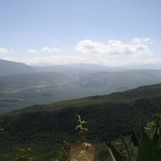
The province is accessible via María Montez International Airport or by driving from Santo Domingo along the main coastal road, a journey of about three hours. The terrain offers various trails and routes suitable for different skill levels, from casual walks to more demanding exploration.
This region holds the only deposits of Larimar, a rare blue mineral found nowhere else in the Dominican Republic or the world. The stone has become significant to the local economy and draws visitors curious about where this sought-after gem originates.
The community of curious travelers
AroundUs brings together thousands of curated places, local tips, and hidden gems, enriched daily by 60,000 contributors worldwide.